Freshly placed topsoil can lose depth as its pore structure changes, but the amount is not fixed. Product composition, initial looseness, moisture, handling, placement method, layer depth and the condition below it can all change the result.
Plan from the required finished depth and elevation. Use a documented material-and-method factor when one is available, then verify the actual surface from stable control points instead of assuming the allowance worked.
How much extra topsoil should you allow for settlement?
There is no universal percentage. Use a retained-depth or loose-to-placed relationship from the current supplier, project specification, representative trial or measured past placement that matches the product, layer and method.
Required finished volume = area × finished topsoil depth
Initial volume = required finished volume ÷ retained ratio
Addition over finished volume = initial volume - finished volume
A 12% loss from the initial volume does not reverse with a 12% addition to the finished volume. The exact addition is 12 ÷ 88 = 13.636% of the finished requirement.
Start with the Topsoil Calculator to measure finished placed volume. Leave its optional delivery adjustment at 0% until a source defines the loose-to-placed conversion.
What do retained ratio, settlement loss and added percentage mean?
They describe the same change from different denominators. Record the equation with the value so a supplier, estimator and reviewer do not apply it in opposite directions.
| Term | Equation | Meaning |
|---|---|---|
| Retained ratio, r | finished depth ÷ initial depth | The share of initial depth remaining at the defined finished stage |
| Settlement loss fraction, s | 1 - r | The share of initial depth or compatible volume lost |
| Addition over finished, p | 1 ÷ r - 1 | The extra initial volume divided by the finished requirement |
| Initial depth | finished depth ÷ r | The initial placed depth needed under the stated factor |
| Calculator delivery adjustment | finished volume × (1 + p) | The percentage entered in the Topsoil Calculator when the evidence is expressed as addition over finished volume |
If a source says “10% compaction” without an equation, ask whether it means loss from initial volume, addition over finished volume, a density change, a test target, or an informal order buffer. Those meanings are not interchangeable.
Where should a settlement factor come from?
Use evidence tied to the named topsoil and placement workflow. Record the stage at which the initial and finished measurements were taken.
| Source | Record | Limit |
|---|---|---|
| Project specification | Required finished depth, placement method, compaction or conditioning, tolerance, timing and acceptance authority | Applies to its project and revision, not every landscape |
| Supplier statement | Exact product, loose sale state, expected placed state, method, factor direction and date | A general product family or old stockpile may not represent the delivery |
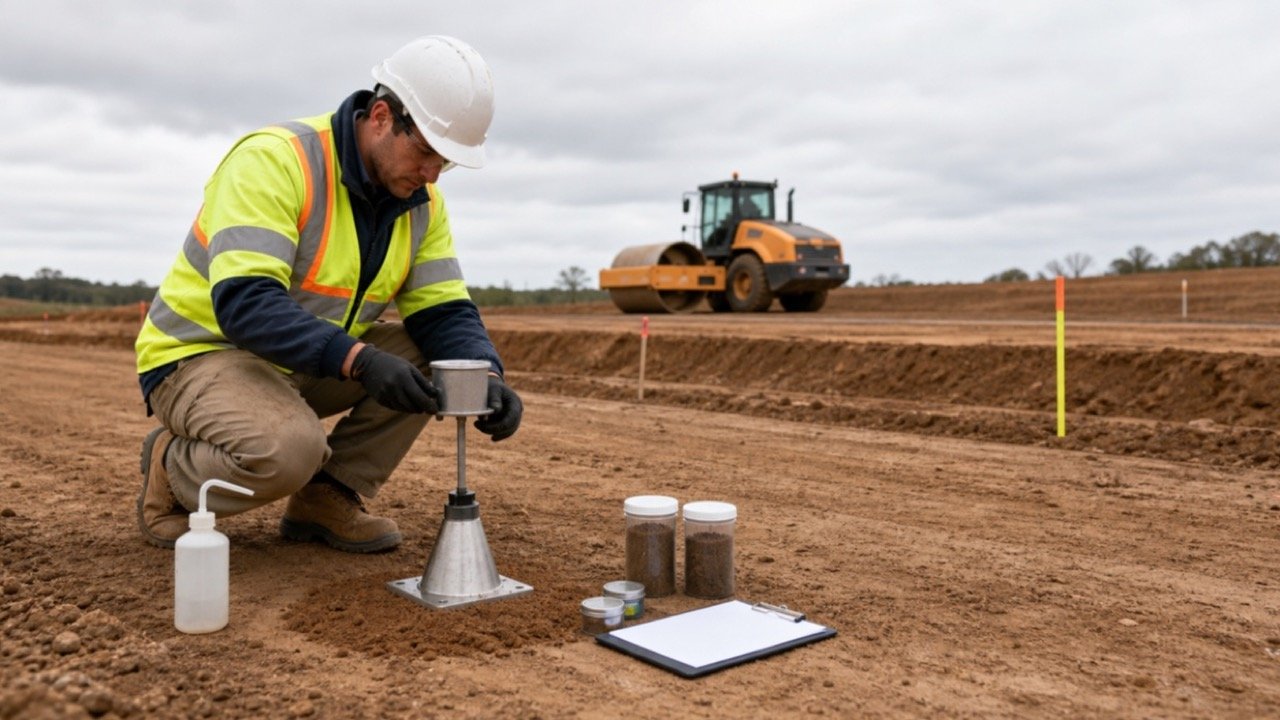
| Representative trial area | Area, initial depth, finished depth, product, moisture, equipment, dates and measurement controls | A small uniform trial may miss deeper fill movement or variable site conditions |
| Measured previous placement | Comparable product, layer, subgrade, method, weather, interval and verified outcome | Past performance is useful only when the conditions match |
| Generic online percentage | Source, material definition, state and method if available | Use as a question to investigate, not an order factor |
Government project documents show why the factor must stay project-specific. One New York State DEC remediation specification defines minimum thickness after natural settlement, a named compaction range and repairs before acceptance. An EPA-hosted design specification defines thickness after light compaction. Neither project's values establish a general topsoil percentage.
Are finished grade and topsoil thickness the same check?
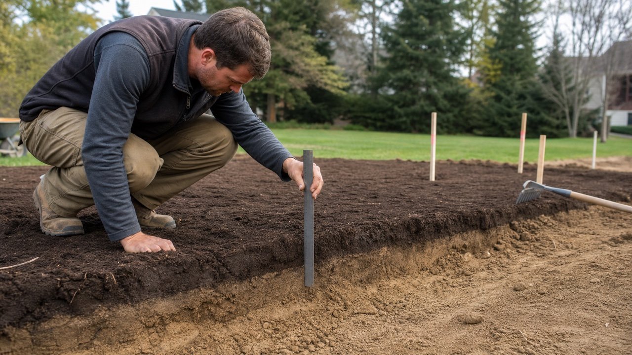
No. Finished grade is the final surface elevation and shape. Topsoil thickness is the vertical difference between the prepared subgrade and the topsoil surface at a location.
| Check | How to measure | What can go wrong |
|---|---|---|
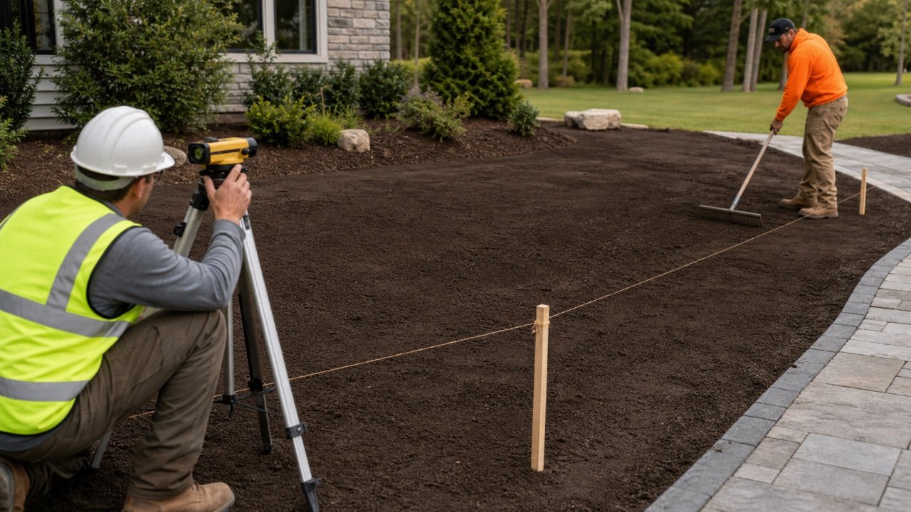
| Finished elevation | Survey level, laser, string line or another project-approved method tied to stable benchmarks | The surface can be too high, too low or drain in the wrong direction |
| Topsoil thickness | Difference between recorded subgrade and finished elevations, or an approved direct depth check | High subgrade can produce the right surface with too little topsoil |
| Surface smoothness | Project straightedge, grid, contour or visual and instrumented check | Ridges and depressions can remain between sparse level points |
| Drainage function | Approved contours, outlets, inlets, interfaces and observation under suitable conditions | A smooth surface can still direct water toward the wrong place |
Iowa DOT's current Section 2105 requires topsoil to be spread to the contract depth and left in a finished condition that drains properly. That highway specification illustrates separate depth and surface outcomes; its stated depths do not set a residential garden rule.
How do you set up a finished-grade field check?
Measure from controls that will remain stable through placement and correction. Keep the same datum, coordinate system and point IDs in the before-and-after record.
- Confirm the approved finished elevations, contours, drainage route, topsoil depth and tolerance.
- Establish protected benchmarks outside areas likely to move or be disturbed.
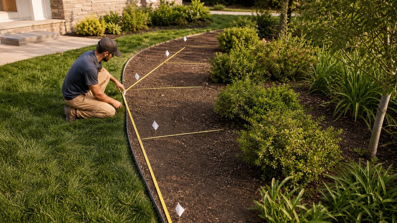
- Record prepared subgrade elevations on a grid, sections or named control points.
- Mark hardscape, building, inlet, outlet, utility, planting and boundary interfaces.
- Place and condition the topsoil by the specified method and under permitted moisture conditions.
- Measure the surface at the required acceptance stage using the same controls.
- Calculate topsoil thickness and finished-elevation difference separately.
- Map high spots, low spots, abrupt changes and drainage conflicts.
- Correct the cause and remeasure before seed, sod, mulch or other work hides the surface.
Philadelphia Water Department erosion-control notes separate scarifying before topsoil from compacting underlying fills to reduce settlement and require work to follow the approved plan. This separation matters when the low area comes from below the topsoil layer.
When should topsoil be measured after placement?
Measure at the event defined by the project or the evidence behind the factor. That may be after specified rolling, raking, watering, natural settlement, a weather cycle, or immediately before planting and acceptance. There is no universal number of days.
Record the initial and follow-up dates, rainfall or irrigation, freeze and thaw, traffic, cultivation, equipment passes and visible erosion. Measurements taken after different treatment stages cannot establish one clean retained ratio.
Do not postpone a known drainage conflict or unstable depression merely to “let it settle.” Isolate the area and determine whether the cause is loose topsoil, eroded material, saturated subgrade, failed fill, utility work, a leak or another condition that needs responsible review.
Worked cubic-yard settlement example
A 600 ft² area requires 4 in of finished topsoil. A product- and method-specific record supports a retained ratio of 0.88.
| Stage | Calculation | Result |
|---|---|---|
| Finished volume | 600 × 4 ÷ 12 | 200 ft³ |
| Finished cubic yards | 200 ÷ 27 | 7.407407 yd³ |
| Initial depth | 4 ÷ 0.88 | 4.545455 in |
| Initial volume | 200 ÷ 0.88 ÷ 27 | 8.417508 yd³ |
| Addition over finished | 8.417508 - 7.407407 | 1.010101 yd³ |
| Equivalent calculator adjustment | (1 ÷ 0.88 - 1) × 100 | 13.636364% |
The 0.88 ratio is hypothetical. It is not a recommended retained ratio. A 12% loss from initial depth becomes a 13.636% addition over finished volume because the denominators differ.
Worked cubic-metre settlement example
An 85 m² area requires 100 mm of finished topsoil. A matching source supports a retained ratio of 0.92.
| Stage | Calculation | Result |
|---|---|---|
| Finished volume | 85 × 0.100 | 8.5 m³ |
| Initial depth | 100 ÷ 0.92 | 108.695652 mm |
| Initial volume | 8.5 ÷ 0.92 | 9.239130 m³ |
| Addition over finished | 9.239130 - 8.5 | 0.739130 m³ |
| Equivalent calculator adjustment | (1 ÷ 0.92 - 1) × 100 | 8.695652% |
The 0.92 ratio is another arithmetic fixture. Use the project's supported factor, not this value.
How do you calculate refill for local low spots?
Divide the area into measured zones and calculate only positive depth deficits. Keep high areas separate until the approved correction method says whether material can be cut and reused.
Zone deficit = maximum(0, target depth - measured depth)
Net geometric refill = Σ(zone area × representative positive deficit)
Four equal 25 m² zones target 100 mm. Their representative measured depths are 96, 102, 88 and 100 mm.
| Zone | Measured depth | Positive deficit | Refill volume |
|---|---|---|---|
| A | 96 mm | 4 mm | 25 × 0.004 = 0.100 m³ |
| B | 102 mm | 0 mm | 0 m³; record as high |
| C | 88 mm | 12 mm | 25 × 0.012 = 0.300 m³ |
| D | 100 mm | 0 mm | 0 m³ |
| Net geometric refill | 0.400 m³ | ||
The 0.400 m³ result is placed geometry. Convert it to a loose purchase quantity only with a matching delivery relationship, then apply supplier rounding once.
Is the low spot caused by topsoil settlement?
Check the failure pattern before adding material. A surface depression can come from topsoil pore change, erosion, migration, deeper backfill movement or a local defect.
| Observed condition | Evidence to collect | Next decision |
|---|---|---|
| Broad uniform depth loss | Initial and finished grids, product, method, moisture and surface condition | Check whether the documented retained ratio represented the work |
| Channels, exposed roots or displaced soil | Runoff route, inlets, outlets, rainfall, sediment deposits and protection | Correct erosion and drainage cause before replacing soil |
| Local depression over a trench or excavation | Backfill records, utility location, compaction, moisture, voids and movement history | Have the responsible party assess underlying fill; a topsoil cap can hide the symptom |
| Soft, pumping or saturated area | Water source, drainage, subgrade, weather and traffic | Stop trafficking and resolve water or subgrade condition |
| Hard crust or rutting | Equipment passes, moisture, bulk-density or compaction evidence and rooting condition | Use the approved loosening or replacement method; adding soil alone may not fix it |
| High edge beside paving or an inlet | Approved interface elevation, turf or mulch build-up and drainage route | Regrade to the required complete assembly, not just bare-soil level |
Use the Fill Dirt Calculator only after the underlying fill geometry and approved material are known. Topsoil intended as a growing layer should not be used to conceal unresolved structural or backfill movement.
How should high and low areas be corrected?
Follow the project method and preserve required soil quality. Correct the cause, then cut, loosen, blend, refill, rake, condition and remeasure only as allowed.
- Protect benchmarks and mark the correction boundary.
- Keep unsuitable, contaminated, eroded or mixed material out of accepted topsoil.
- Do not average a high spot against a distant low spot when drainage or thickness controls differ.
- Account for sod, seedbed, mulch or other surface-system thickness at interfaces.
- Avoid trafficking or working soil under prohibited wet, frozen or saturated conditions.
- Use the specified compaction or light conditioning method. Excessive compaction can reduce pore space and impair soil function.
- Restore erosion protection and verify outlets, inlets and drainage paths.
- Repeat elevation, thickness and surface checks after correction.
The USDA NRCS bulk-density guide explains that compaction changes pore space and soil function. It does not prescribe a landscape acceptance density. Use the project's topsoil specification and qualified direction where testing or performance requirements apply.
How do you turn a verified correction into an order?
Sum compatible placed refill zones without intermediate rounding. Apply one documented loose-delivery conversion, then a separate supported handling allowance and the supplier's current selling increment.
- Confirm the correction boundary and placed deficit volume.
- Confirm the topsoil product and acceptance requirements.
- Apply the matching retained ratio or loose-delivery adjustment once.
- Use the Topsoil Bulk Density and Delivery guide only when a weight or load check is needed.
- Use the Topsoil Bags vs Bulk guide to compare current packages, bulk increments, fees and access.
- Record the ordered volume, surplus, delivery condition and final field receipt.
Use the Topsoil Depth Guide when the target depth itself is unresolved. A settlement allowance cannot select a planting depth or repair an unsuitable soil profile.
Common settlement and finished-grade mistakes
- Entering 10% or 15% because it appears on another calculator.
- Applying a loss-from-initial percentage as the same addition over finished volume.
- Using one factor for a different blend, moisture condition, layer depth or placement method.
- Calling surface elevation and topsoil thickness the same check.
- Measuring from a stake, path or structure that moved during the work.
- Averaging low and high points until a local drainage defect disappears from the total.
- Assuming every low spot is topsoil settlement.
- Adding topsoil over failed trench backfill, a leak, saturated ground or an active washout.
- Using heavy compaction to stop settlement without checking the growing-medium requirement.
- Setting a universal waiting time instead of the specified measurement event.
- Ignoring sod, mulch, edging, paving, inlet and building interface levels.
- Rounding each grid cell before the correction total is complete.
What should the finished-grade record contain?
- Project, area, responsible parties, drawing and specification revisions.
- Required finished elevations, contours, tolerance, topsoil depth and complete surface assembly.
- Stable benchmark, datum, grid or section IDs and measurement method.
- Prepared subgrade elevations and acceptance record before topsoil placement.
- Topsoil product, source, test or specification evidence, moisture and delivery state.
- Initial depth or volume, placement method, equipment, dates and weather.
- Retained ratio, settlement-loss fraction or added percentage with its exact equation and source.
- Follow-up elevations, thicknesses, high and low zones, drainage observations and photographs.
- Diagnosis of settlement, erosion, migration, deeper fill or another cause.
- Correction geometry, loose conversion, supplier rounding, tickets and accepted final result.
Return to the Landscaping Planning hub to keep topsoil, fill dirt, compost and mulch quantities in their correct material records.
Sources and source scope
- Iowa DOT, Standard Specification Section 2105: current contract-depth, uniform placement and finished-drainage context for Iowa highway work.
- Philadelphia Water Department, Table E-5 Standard Erosion and Sediment Control Notes: approved-plan, topsoil preparation, underlying fill and finished-grade controls within its jurisdiction.
- New York State DEC, 837 Bailey Avenue Off-Site Remediation Work Plan: a site-specific example of post-settlement depth, named compaction, grade repair and acceptance.
- U.S. EPA SEMS, Basis of Design Report: a site-specific example of specified thickness after light compaction, settlement repair and drainage grading.
- USDA NRCS, Soil Quality Indicators: Bulk Density: pore-space, density and soil-compaction context.
- NIST Guide to the SI, Appendix B: unit relationships used in the examples.
Source scope: the government specifications show that finished depth, conditioning, tolerance, drainage and repair are defined by the governing project. Their stated depths, percentages and methods are not universal recommendations. The worked ratios, dimensions and grid measurements are hypothetical calculation fixtures.