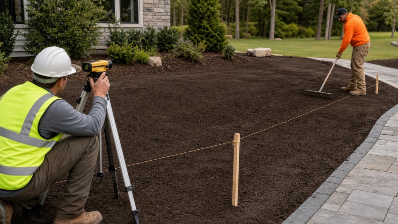
An irregular garden bed needs more than one longest length and one widest width. Curves, narrow ends, internal planting areas, excluded surfaces, slopes, and changing mulch depth can make that bounding rectangle much larger than the surface that will actually receive material.
Choose a measurement method that follows the boundary, draw a field sketch, and keep additions, deductions, and depth zones visible. The result should be repeatable by another person.
How do you measure an irregular garden bed for mulch?
Use composite regular shapes when the outline can be represented by rectangles, triangles, circles, semicircles, or trapezoids. For a curved kidney-shaped bed, establish a straight baseline and measure full perpendicular widths at equal stations, then calculate the area in segments.
A percentage does not repair an undocumented boundary, missed exclusion, wrong slope basis, or single maximum-width estimate. Area uncertainty and planning allowance are separate records.
| Bed condition | Preferred field method | Main check |
|---|---|---|
| Mostly straight edges | Split into rectangles and triangles | Do not overlap or leave gaps between components |
| Circle, ring, or semicircular end | Measure radius or diameter and use circle fractions | Deduct the inner no-mulch circle for a ring |
| Straight strip with width changing evenly | Length × average of the two end widths | Use only when each side changes approximately in a straight line |
| Curved kidney or freeform bed | Baseline with equal perpendicular width stations | Closer stations should be used where curvature changes quickly |
| Current surveyed polygon or verified plan | Use the controlled net area | Confirm revision, scale, boundary, exclusions, and field condition |
| Sloped or terraced bed | Measure actual surfaces or use controlled survey geometry | Do not treat horizontal plan area as surface area without checking the slope model |
Iowa State University Extension recommends a longest internal line with equally spaced widths measured perpendicular to it for a complex irregular bed. It notes that more width lines improve the precision of the estimate.
What should you record before measuring?
Define the quantity boundary and units before taking dimensions. A field sketch prevents several beds, exclusions, and depth zones from becoming one unsupported total.
- Project, bed identifier, location, date, measurer, and drawing or quote revision.
- The actual edge of the surface that will receive mulch.
- Permanent no-mulch areas, paving, drains, equipment pads, water features, and other exclusions.
- Separate zones for different target depth, retained usable depth, material, or condition.
- Measurement method, baseline, station interval, component labels, and units.
- Slope or terrace boundaries and whether dimensions follow the surface or horizontal plan.
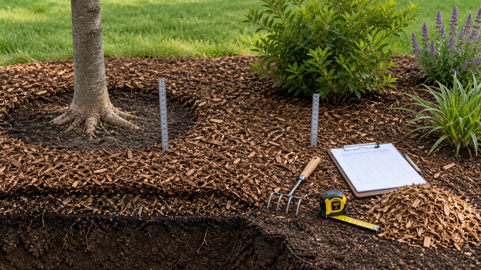
Do not deduct plant canopies automatically. Mulch may still cover soil below a plant, while clearance is required at trunks and stems under applicable guidance. Sketch the actual placement boundary.
How do composite shapes work?
Draw regular shapes over the bed, calculate each included area, subtract measured exclusions, and add the remaining values. Keep each component visible on the sketch.
Rectangle area = length × width
Triangle area = base × perpendicular height ÷ 2
Circle area = π × radius²
Semicircle area = π × radius² ÷ 2
Net area = sum of included components − sum of measured exclusions
The University of Florida IFAS Extension gives rectangle and circle methods and recommends dividing an irregular area into smaller circles and rectangles before adding them. Triangles and trapezoids can reduce the mismatch when the boundary is not rectangular.
Worked composite-bed example
A bed includes a 24 ft × 12 ft rectangle and a semicircular end with a 6 ft radius. A circular 2 ft radius feature inside the bed will not receive mulch.
- Rectangle: 24 × 12 = 288 ft².
- Semicircle: π × 6² ÷ 2 = 56.5487 ft².
- Included area: 288 + 56.5487 = 344.5487 ft².
- Exclusion: π × 2² = 12.5664 ft².
- Net area: 344.5487 − 12.5664 = 331.9823 ft².
The target total depth is 3 in and 1 in of usable mulch remains, so the net depth to add is 2 in. Measured mulch volume is 331.9823 × 2 ÷ 324 = 2.0493 yd³.
Keep 2.0493 yd³ as the measured result. A documented allowance and supplier order increment belong to later planning and purchasing stages.
When can you use length times average width?
Use the average-end-width formula for a strip whose two sides change approximately in straight lines between measured ends. The shape is a rectangle when the widths match and a trapezoid when they differ.
Area = length × (width 1 + width 2) ÷ 2
An 18 m strip is 2.4 m wide at one end and 4.1 m at the other. Its area is 18 × (2.4 + 4.1) ÷ 2 = 58.5 m².
With a 70 mm target and 20 mm retained, the net depth is 50 mm. Measured volume is 58.5 × 50 ÷ 1,000 = 2.925 m³.
Do not use only the narrowest and widest readings when the sides bulge, reverse, or change direction between them. Use more stations or split the bed.
How do you measure a curved bed with width stations?
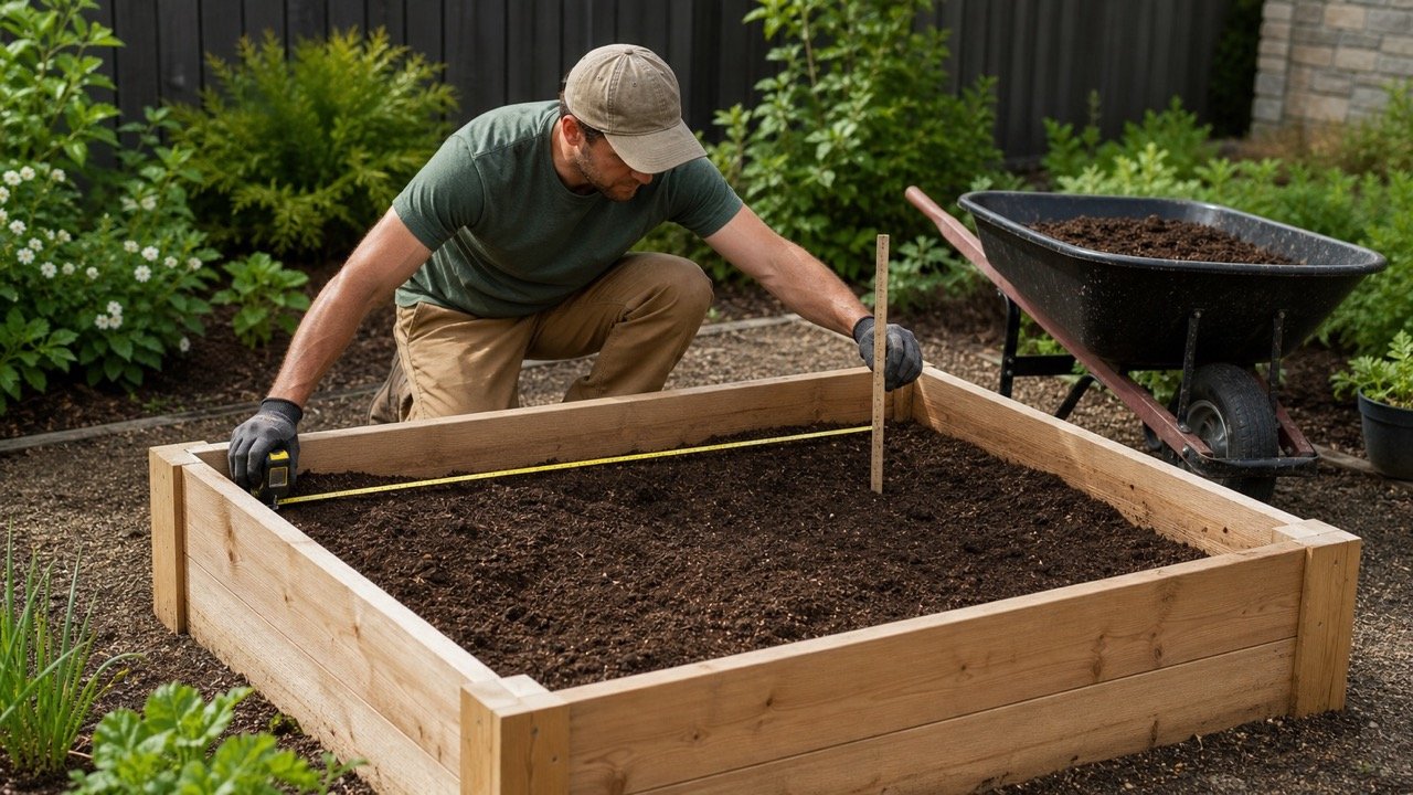
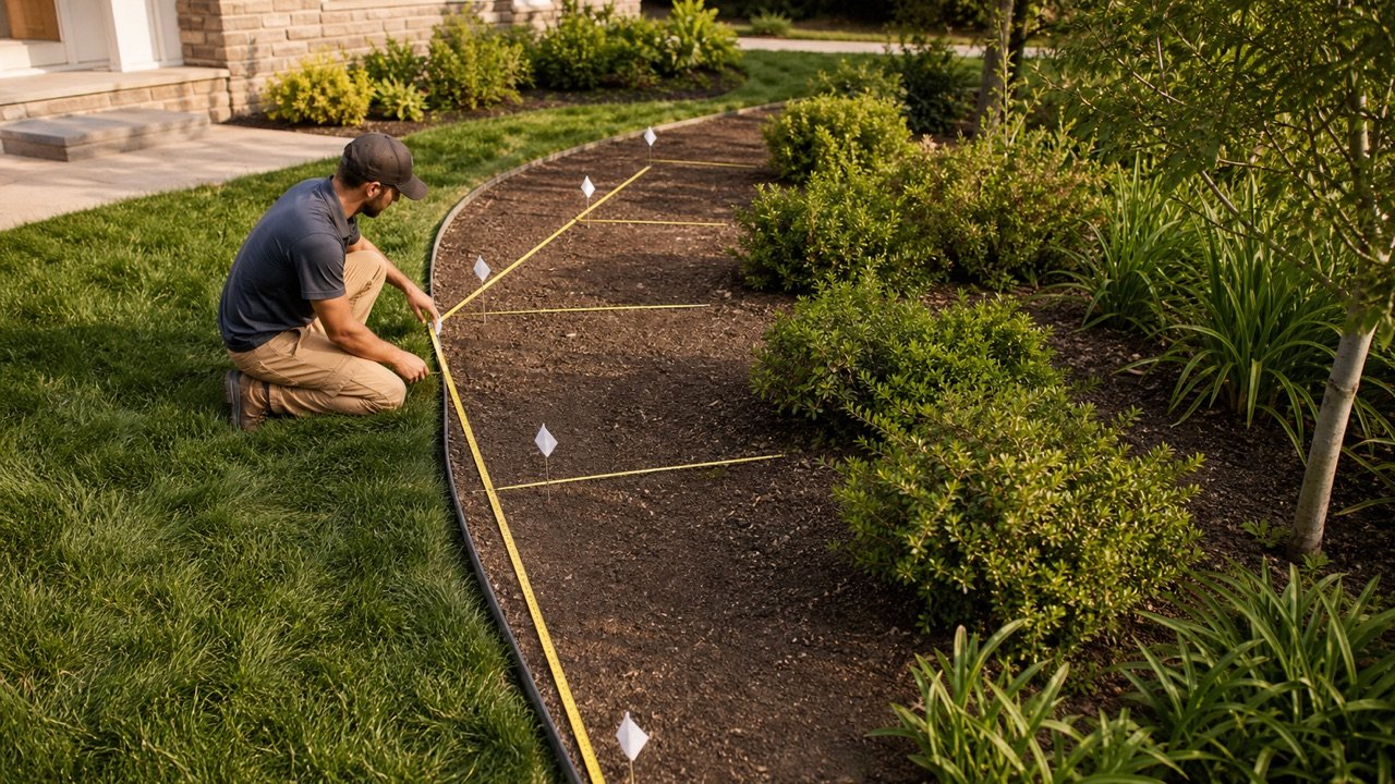
Run a straight baseline through the bed and mark equal intervals. At every station, measure the full boundary-to-boundary width at 90 degrees to the baseline. Number the stations and draw each width on the sketch.
- Choose a baseline that represents the long direction without crossing an obstacle that prevents measurement.
- Mark the start, end, and equal station spacing.
- Measure each full width perpendicular to the baseline.
- Use closer spacing where the boundary changes quickly, or split that portion into a separate shape.
- Calculate consecutive segments and add them before deductions.
For a checkable trapezoidal station calculation:
Segment area = station interval × (width at station i + width at station i+1) ÷ 2
Irregular-bed area = sum of all station segment areas
This calculation connects each adjacent pair of widths with straight boundary segments. It is an estimate of the curve, not a survey. Closer stations can represent rapid changes better, but poor station alignment or an unclear boundary can still control the error.
Worked width-station example
Three full widths are measured at 5 m intervals: 2 m, 3.5 m, and 2.5 m.
- Segment 1: 5 × (2 + 3.5) ÷ 2 = 13.75 m².
- Segment 2: 5 × (3.5 + 2.5) ÷ 2 = 15 m².
- Total area: 13.75 + 15 = 28.75 m².
If the bed continues beyond those stations, include the remaining segments. If the first or last width closes to a point at the boundary, record a zero width at that endpoint rather than silently extending the nearest measured width.
How should you measure curved borders and rings?
A constant-width circular ring can be calculated by subtracting the inner circle from the outer circle. A border that follows an irregular curve needs enough width stations or a controlled polygon measurement to represent the changing strip.
Circular ring area = π × (outer radius² − inner radius²)
Measure full diameters through the same centre when the feature is truly circular. For an oval-like area, do not call it a circle. Split it into measured components or use an ellipse formula only when the two full axes and the shape assumption are supported.
How do exclusions change the result?
Deduct only surfaces that will not receive mulch. Measure exclusions with the same care as included areas and identify them on the sketch.
| Feature | Treatment | Common error |
|---|---|---|
| Paving, pad, or water feature | Measure and deduct the actual no-mulch boundary | Using a rough percentage of the whole bed |
| Tree or shrub base | Apply the required clearance while retaining the surrounding mulched soil area | Deducting the full canopy projection |
| Drain, grate, valve, or utility feature | Record the no-cover or access zone required by the project | Covering it because its area seems small |
| Existing groundcover patch | Confirm whether mulch is excluded, placed around it, or not used in that zone | Assuming every planted area has the same treatment |
| Repeated small exclusions | Count and multiply a checked typical area only when they are genuinely alike | Forgetting quantity or mixing sizes |
What if the bed has different depths?
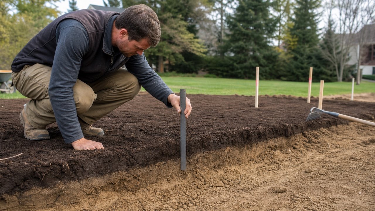
Calculate separate zones. Area alone cannot combine a new bare bed, a retained mulch layer, and a thin refresh without hiding the depth that applies to each part.
Net depth to add = max(target total depth − retained usable depth, 0)
Zone yd³ = zone ft² × net depth in inches ÷ 324
Zone m³ = zone m² × net depth in millimetres ÷ 1,000
Sum unrounded volumes only after every compatible zone is calculated. Use the calculator's known-area mode for each zone, then keep the zone schedule with the total.
Does slope change mulch area?
Yes, when the material covers the sloped surface. Horizontal plan area is smaller than the surface area of an inclined plane. Measure along the actual surface or use current controlled survey geometry where possible.
For one simple planar surface with verified uniform slope angle θ:
Surface area = horizontal plan area ÷ cos(θ)
A 100 m² horizontal plan at a verified uniform 15 degree slope has a geometric surface area of 100 ÷ cos(15 degrees) = 103.528 m².
This formula does not fit rolling, terraced, compound, eroded, or changing slopes. Do not estimate a slope angle by appearance or enter hazardous terrain to take unsupported measurements. Use qualified survey and site-safety controls when the condition requires them.
Can you measure from an aerial image or drawing?
Use an image, GIS polygon, or plan only when its scale, date, coordinate or projection basis, resolution, boundary, and revision are suitable for the decision. Confirm the current field edge and exclusions.
- Old imagery can miss expanded beds, new paving, mature plants, and changed edges.
- Tree cover and shadows can hide the boundary.
- A horizontal map does not directly provide sloped surface area.
- A screenshot without a controlled scale or polygon record is not a reproducible measurement.
- A construction drawing may show design area rather than the current installed condition.
Why doesn't adding 10% fix an irregular shape?
An allowance and a measurement correction solve different problems. If the estimated area is 20% high because the full bounding rectangle was used, adding 10% makes the quantity further from the actual geometry.
Improve the boundary model, take more width stations, measure exclusions, and record uncertainty first. Add an allowance only when a project-specific reason supports it, such as handling loss or uneven placement, and show it separately from measured volume.
Common irregular-bed measurement mistakes
- Multiplying the longest length by the widest width for a strongly curved bed.
- Taking widths at uneven stations and treating them as equally spaced.
- Measuring widths at an angle instead of perpendicular to the baseline.
- Overlapping composite shapes or leaving unmeasured gaps between them.
- Forgetting internal exclusions or deducting entire plant canopies.
- Combining zones with different target or retained depths.
- Using plan area on a material slope without checking the surface basis.
- Rounding every component before the net area and volume are added.
- Using an automatic percentage to hide missing measurements.
- Relying on an old plan or aerial boundary without field confirmation.
What should the field measurement record contain?
- Bed ID, date, measurer, units, reference point, and revision.
- Sketch with boundary, baseline, station numbers, component shapes, and north or orientation note where useful.
- Raw lengths, widths, radii, intervals, slope basis, and exclusion dimensions.
- Area calculation by component or segment and the net area before rounding.
- Target depth, retained depth, net depth, and volume for every zone.
- Measurement limitations, inaccessible edges, assumed straight segments, and verification needed.
- Planning allowance and supplier rounding as later, separate entries.
Continue with the Mulch Calculator after the net area and depth zones are checked. Use the Mulch Depth Guide to choose and measure the applicable top-up depth, the Mulch Coverage Guide for one-unit coverage, and Mulch Bags vs Bulk for the purchase-format decision. The landscaping planning hub links the related material tools.
Sources and scope
- Iowa State University Extension, determining garden-bed or lawn area: supports regular-shape formulas and equal-interval perpendicular widths for irregular beds.
- University of Florida IFAS Extension, Choosing and Installing Mulches: supports rectangle, circle, and composite irregular-area methods in its stated context.
- NIST Special Publication 447: supports the cubic-foot, cubic-yard, and cubic-metre relationships.
- NIST Guide to the SI, Appendix B.8: supports unit-conversion relationships.
This workflow provides planning geometry, not a legal boundary, land survey, accessible-route approval, utility locate, site-safety plan, horticultural specification, or supplier order. Use current controlled project information and qualified help where the boundary, slope, access, utilities, or required accuracy exceeds a field estimate.