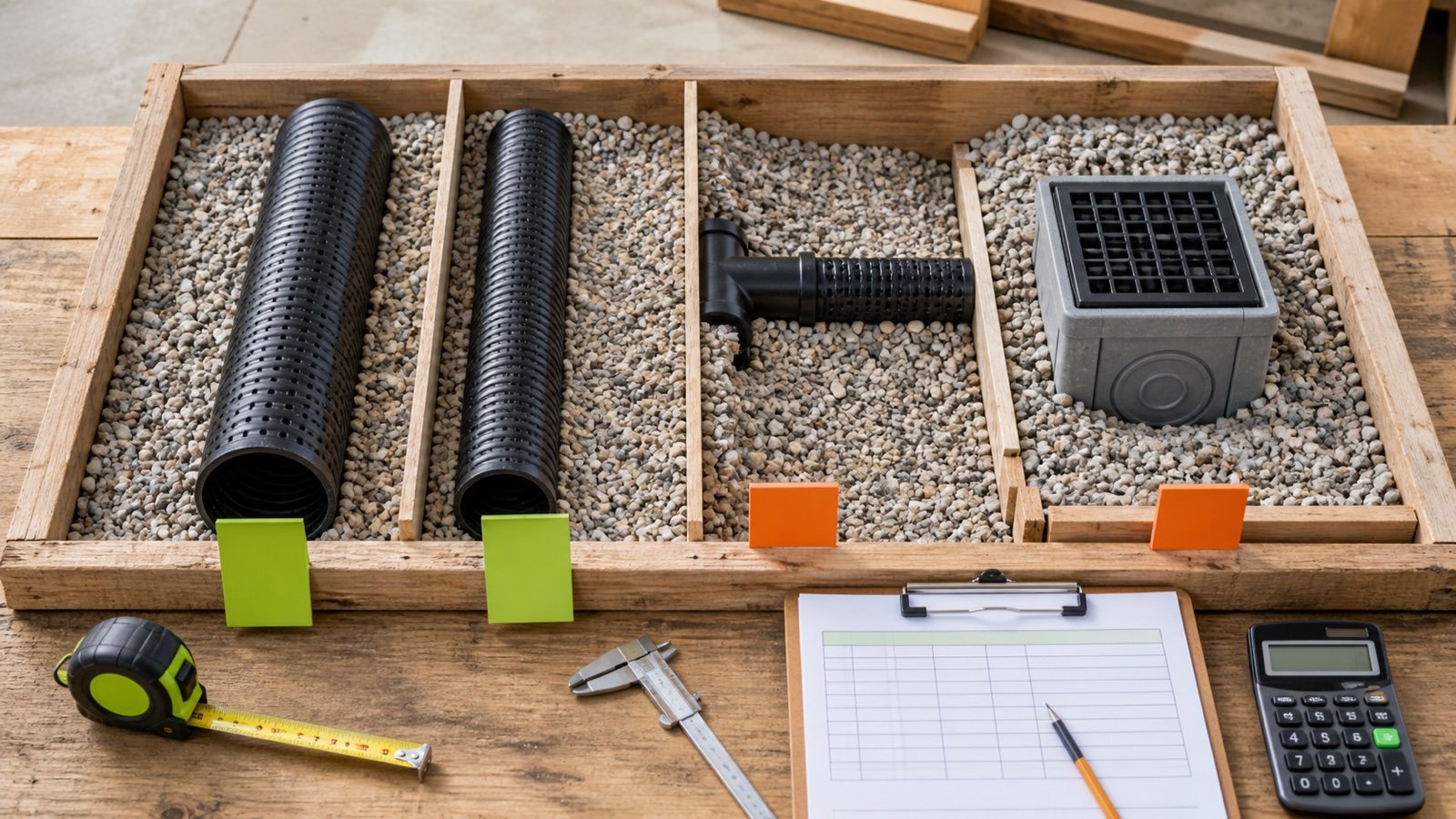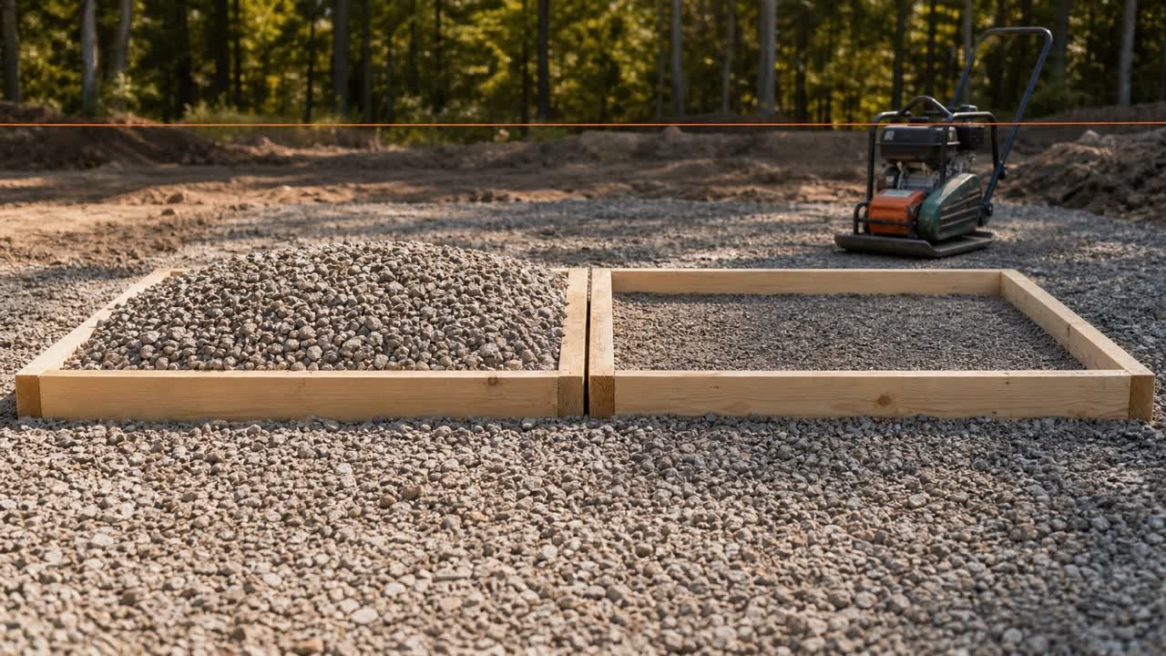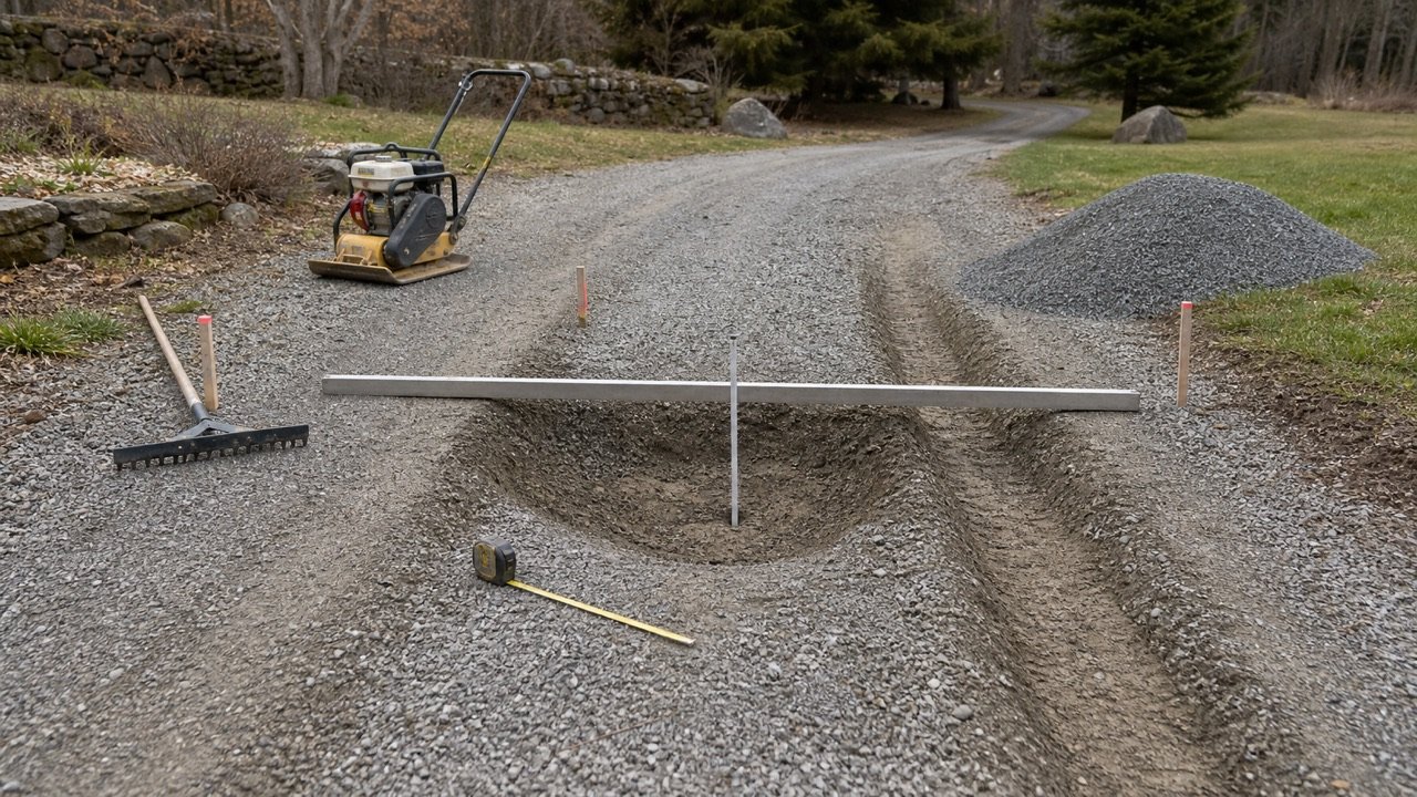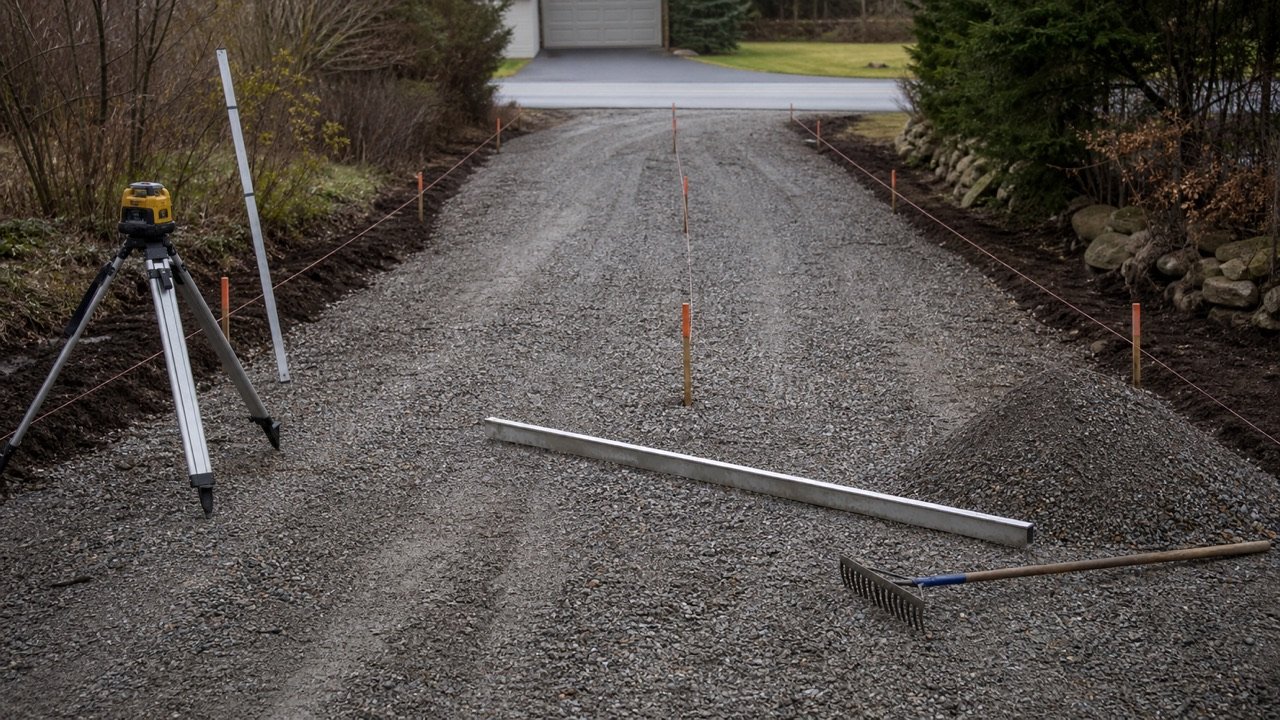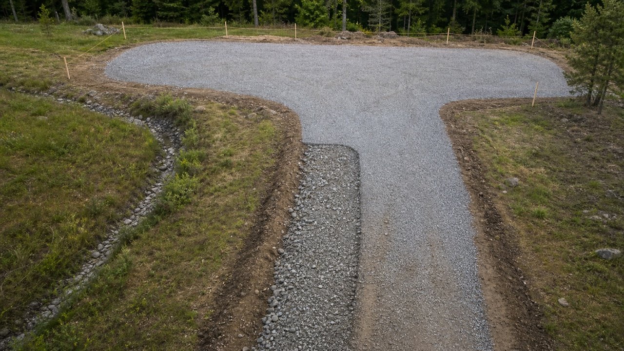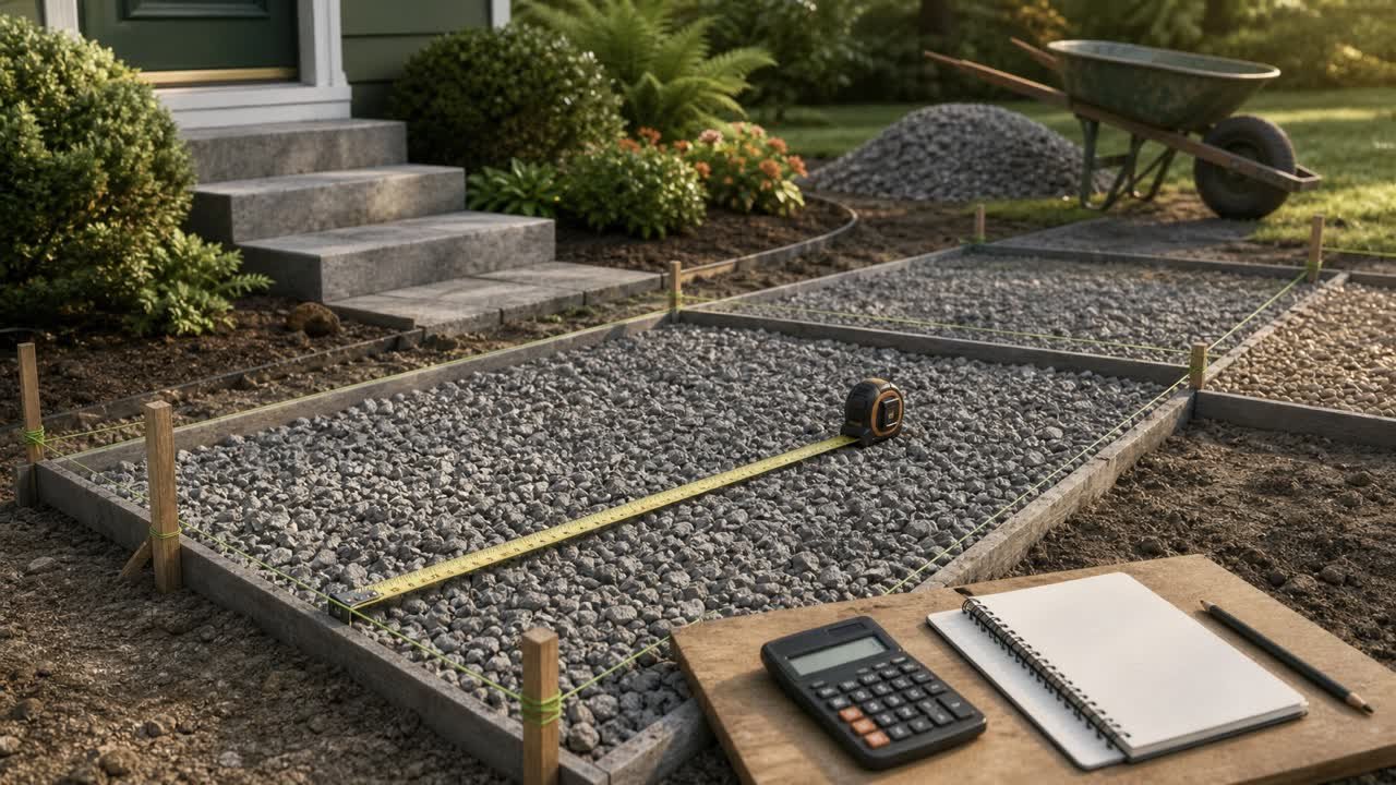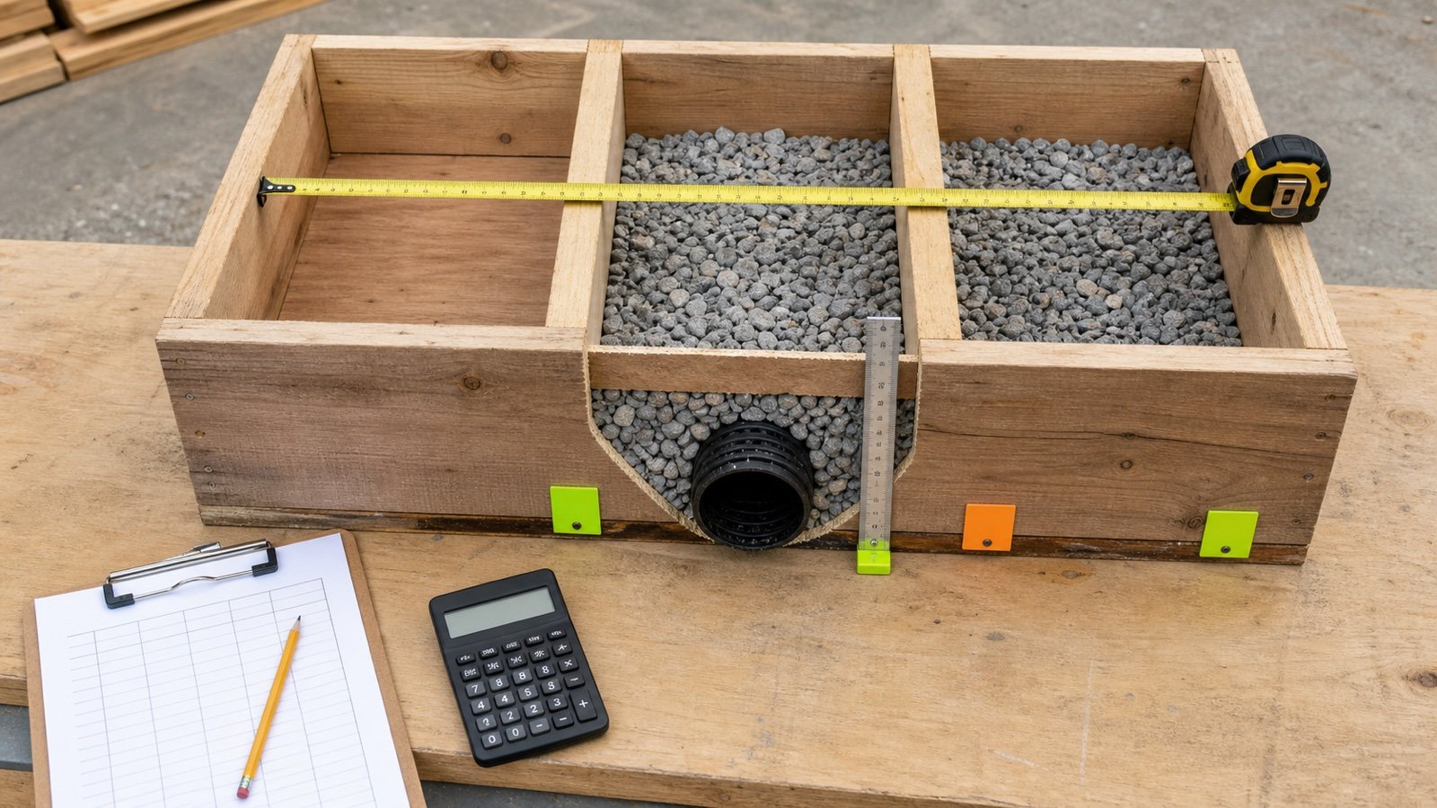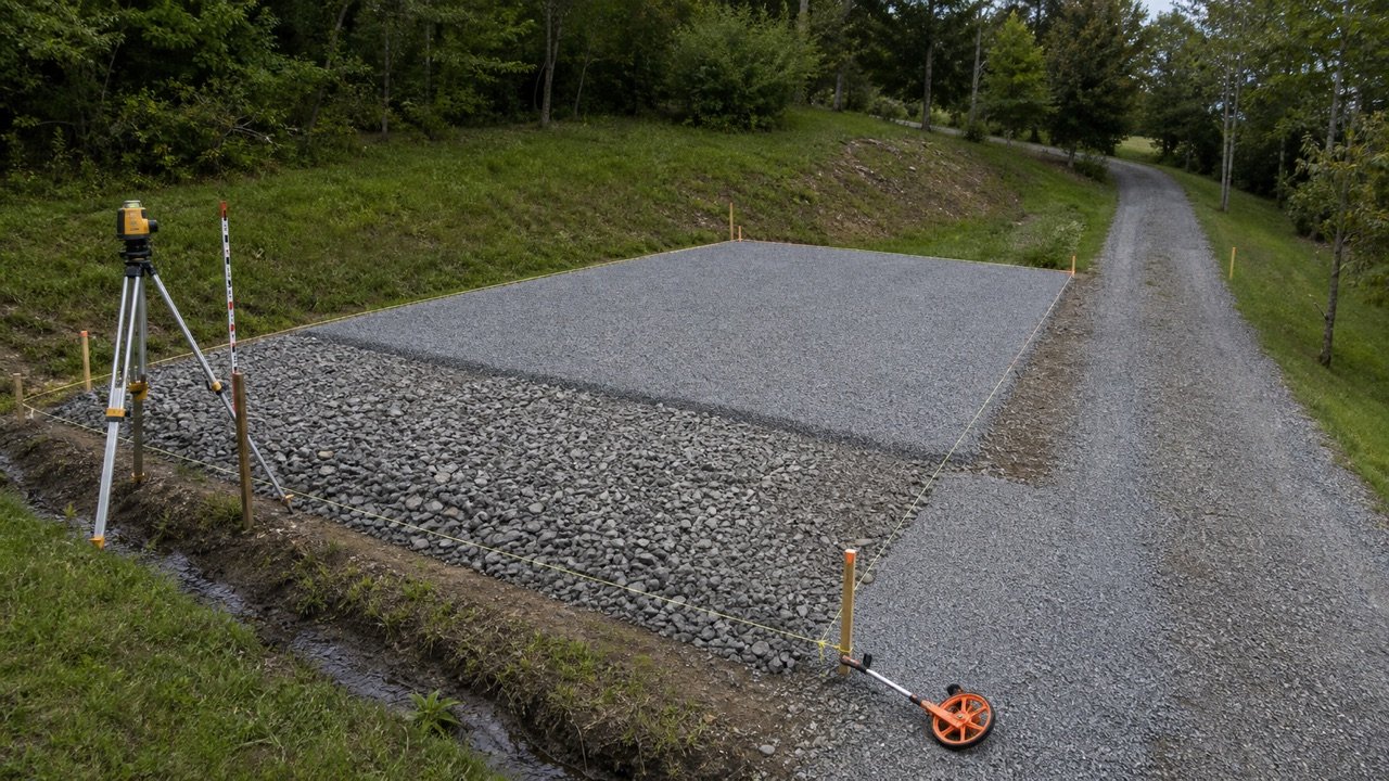
A gravel parking pad takeoff starts with the approved area that vehicles will occupy and use for maneuvering. The connection to an existing driveway, pedestrian access, drainage features, buffers, utilities, and retained surfaces can change the measured footprint.
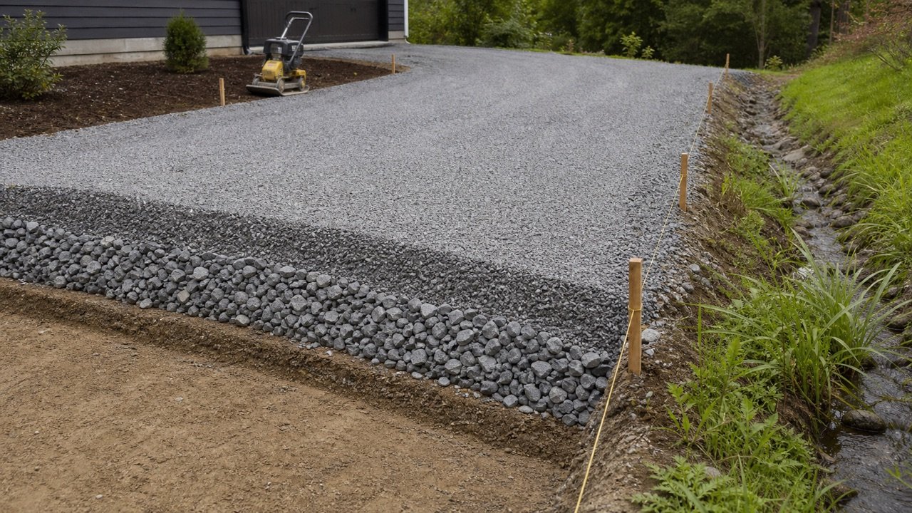
Calculate excavation, grading fill, geotextile, subbase, base, surface gravel, edging, and restoration as separate items. One set of dimensions works only for parts that share the same footprint and depth.
How much gravel does a parking pad need?
Multiply each layer's net plan area by its accepted compacted thickness. Convert the geometric volume to cubic yards or cubic metres, then use selected supplier data to convert that layer into a loose delivery volume or mass.
Parking pad area = sum of included zones - sum of approved exclusions
Cubic yards = area in square feet × compacted depth in inches ÷ 324
Cubic metres = area in square metres × compacted depth in millimetres ÷ 1,000
Repeat the calculation for each product and footprint. Keep measured excavation, compacted structural fill, compacted aggregate, loose delivery volume, supplier mass, handling loss, and selling-unit rounding on separate lines.
This method measures an approved pad. It does not choose parking dimensions, vehicle clearances, turning paths, pavement depths, aggregate products, drainage, accessibility provisions, retaining structures, or permits.
Which parts belong in the parking-pad footprint?
Trace each approved use area before calculating volume. A pad can include parking bays, a maneuvering strip, a short driveway connection, and edge transitions, but those zones may use different layers.
| Zone | Measurement evidence | Quantity treatment |
|---|---|---|
| Vehicle parking area | Approved bay limits or marked footprint | Measure the net layer area |
| Maneuvering area | Approved turning or backing envelope | Add once where it receives the pad section |
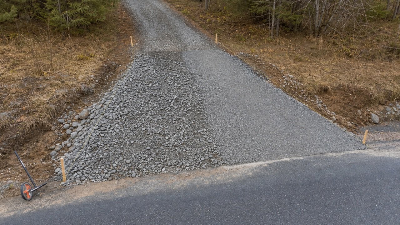
| Driveway connection | Construction joint or tie-in line | Exclude any area already counted in the driveway |
| Pedestrian route or access aisle | Governing accessibility or site plan | Keep its surface and section separate when they differ |
| Drainage strip, swale, basin, or channel | Drainage plan and finished contours | Exclude from the pad or measure as a separate system |
| Tree, utility, cover, foundation, or retained paving | Surveyed boundary and required clearance | Deduct only from displaced layers |
| Shoulder, edging, or restoration | Approved perimeter and cross-section | Measure by its own area, length, or volume |
A parked vehicle's outline does not establish the construction limit. Doors, ramps, trailer tongues, overhangs, wheel stops, bollards, gates, and approach movements can affect the approved layout without becoming aggregate-volume defaults.
What information should be collected before measuring?
Use the latest site plan, permit, grading plan, drainage design, pavement section, geotechnical recommendation, utility information, and supplier product data. Record the revision and date for each source.
- Pad corners, bearings, curves, parking limits, maneuvering limits, and driveway connection.
- Existing ground and target formation elevations at corners, grade breaks, low points, and fixed tie-ins.
- Excavation, undercut, structural fill, geotextile, base, surface, and restoration footprints.
- Layer thicknesses, material specifications, placement states, and acceptance requirements.
- Buildings, boundaries, trees, utilities, covers, wells, septic assets, slopes, and retaining conditions.
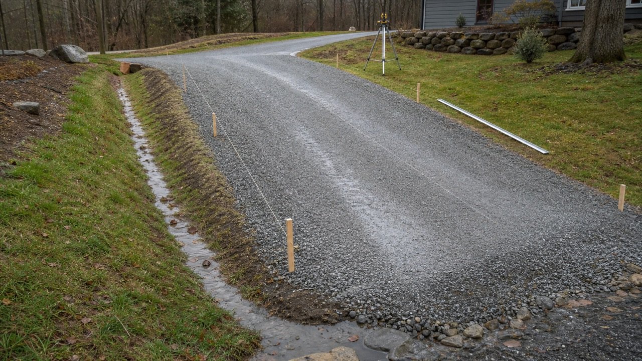
- Runoff direction, swales, channels, drains, basins, infiltration areas, and approved outlets.
- Design vehicles, accessible spaces or routes where applicable, loading controls, and overhead clearance.
- Supplier product, bulk density or yield, selling unit, increment, minimum order, payload, access, and quote date.
Local authorities can control land use, hardstanding area, drainage, access, ground-level changes, and work near a public road. Confirm those decisions before treating the planned outline as buildable.
How is a rectangular parking pad calculated?
Multiply the approved pad length by its width when all 4 corners form a rectangle. Apply the layer depth only to the net footprint that receives that layer.
A = L × W
A pad 22 ft long and 24 ft wide has a plan area of 528 ft². If an edge transition, drain, or retained slab occupies part of that rectangle, deduct its checked area from the affected layer instead of reducing every layer by the same amount.
Check both diagonals and corner positions when field stakes are meant to form a rectangle. Equal nominal side lengths do not prove square corners.
How are irregular and connected areas measured?
Split an irregular pad into non-overlapping rectangles, triangles, trapezoids, or surveyed polygons. Name each shape so another person can reproduce the total.
| Layout | Method | Main check |
|---|---|---|
| Rectangle | Length × width | Corner coordinates, squareness, and net limits |
| L-shaped extension | 2 rectangles with no overlap | Shared corner and connection area counted once |
| Tapered connection | Length × average of end widths | Straight sides and one perpendicular length |
| Angled boundary | Rectangle plus or minus a triangle | Use the triangle's perpendicular height |
| Curved edge | Surveyed polygon, checked CAD area, or short offsets | Boundary follows the approved curve |
| Island or retained feature | Gross footprint minus measured exclusion | Clearance and displaced layers are identified |
Finish the included-area and exclusion ledger before entering any shape in a calculator. Use the Gravel Calculator for a single approved uniform layer or known-area zone. Use the 2-layer workflow below when the parking pad has separate base and surface products. Add unrounded results only when they use the same product and material state.
Why does each layer need a separate area?
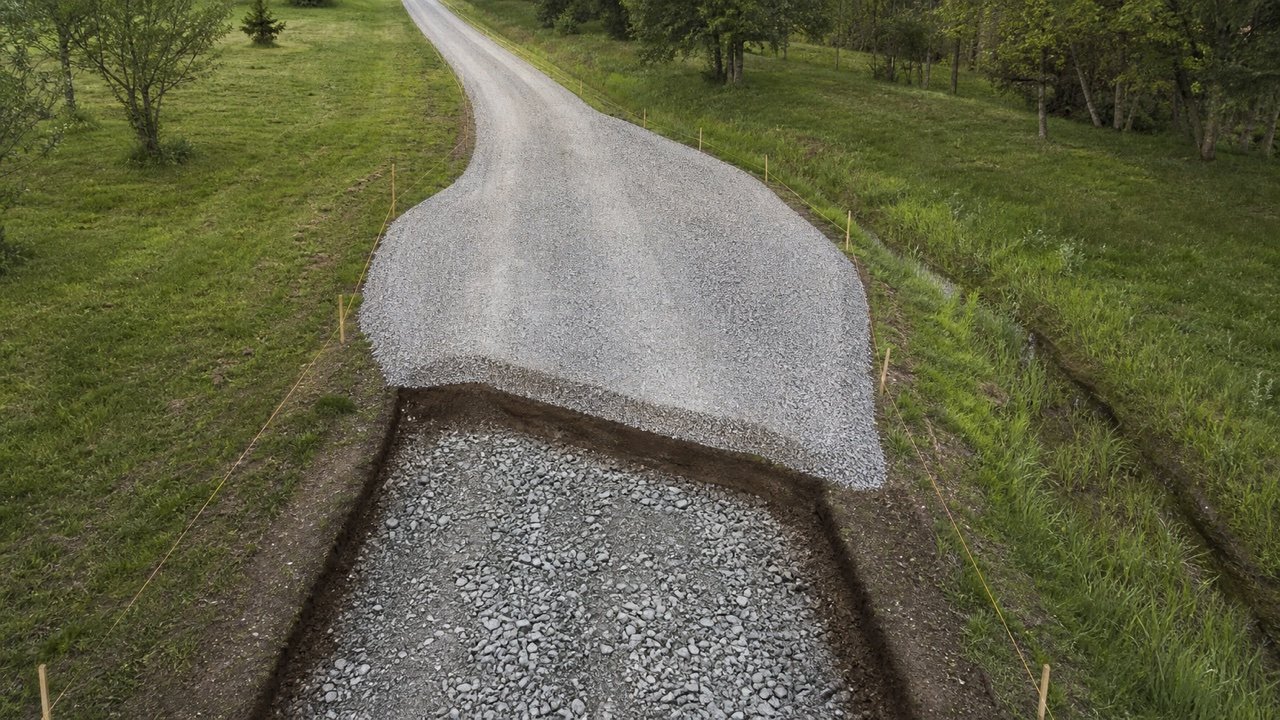
Excavation and structural layers can extend beyond the visible parking surface, while drainage, edging, or a paved connection can interrupt the gravel. A single area can misstate several materials.
| Item | Measure | Reason for a separate line |
|---|---|---|
| Clearing and topsoil removal | Approved disturbance area and removal depth | Vegetation and organic soil follow different handling rules |
| Excavation | Existing surface to accepted formation | Depth changes with ground and target levels |
| Undercut replacement | Accepted weak-zone limits | Field inspection may define it after excavation |
| Structural or grading fill | Existing or cut surface to approved formation | It can form a wedge below the pad |
| Geotextile or geogrid | Specified support surface, panels, overlaps, and returns | Roll planning differs from aggregate volume |
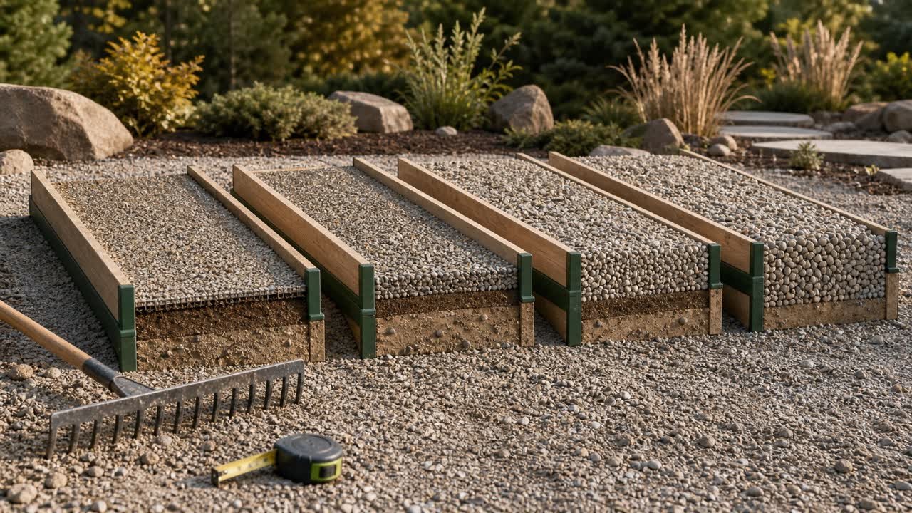
| Subbase and base | Each net footprint × compacted thickness | Products and footprints can differ |
| Surface gravel | Finished gravel footprint × compacted thickness | It may stop at edging, concrete, or an access route |
| Drainage and restoration | Separate channels, swales, outlets, shoulders, or planted areas | They use different geometry and specifications |
Use the gravel layer and depth guide to keep selected compacted depths and products tied to the project source.
Worked imperial example
An approved rectangular pad is 22 ft by 24 ft. The same 528 ft² footprint receives a 6 in compacted base and a 2 in compacted surface layer.
| Quantity | Calculation | Result |
|---|---|---|
| Net plan area | 22 × 24 | 528 ft² |
| Compacted base | 528 × 6 ÷ 324 | 9.777778 yd³ |
| Compacted surface | 528 × 2 ÷ 324 | 3.259259 yd³ |
| Total compacted aggregate geometry | 9.777778 + 3.259259 | 13.037037 yd³ |
The total checks the 8 in aggregate section. The order still contains 2 products, and neither result includes a loose conversion, density, handling allowance, or supplier increment.
Worked metric example
A second approved pad is 6.5 m by 7.5 m. It has a 180 mm compacted base and a 50 mm compacted surface layer over the same area.
| Quantity | Calculation | Result |
|---|---|---|
| Net plan area | 6.5 × 7.5 | 48.750000 m² |
| Compacted base | 48.75 × 180 ÷ 1,000 | 8.775000 m³ |
| Compacted surface | 48.75 × 50 ÷ 1,000 | 2.437500 m³ |
| Total compacted aggregate geometry | 8.775000 + 2.437500 | 11.212500 m³ |
Keep the 8.775 m³ and 2.4375 m³ layer results separate through supplier conversion. Adding them does not create one interchangeable material.
How is fill calculated on sloping ground?
Subtract existing-ground elevation from the approved formation elevation at measured points. A rectangular pad can use area multiplied by the average of 4 corner depths only when those depths represent one planar wedge.
Planar wedge volume = rectangle area × (d1 + d2 + d3 + d4) ÷ 4
A separate 20 ft by 24 ft zone has approved fill depths of 0.00, 0.00, 1.00, and 1.00 ft at its corners. The depths form one plane.
V = 20 × 24 × (0 + 0 + 1 + 1) ÷ 4 = 240 ft³ = 8.888889 yd³
Using the maximum 1 ft depth across the full zone would return 17.777778 yd³ and double this fixture. Using no fill because 2 corners meet grade would miss the wedge.
The metric example has a 48.75 m² footprint and planar corner depths of 0.10, 0.10, 0.55, and 0.55 m. Its average depth is 0.325 m, so the fill volume is 15.843750 m³.
A terrace, local depression, ridge, retaining edge, or changing slope does not fit one 4-corner wedge. Add survey points and calculate shorter zones, triangles, cross-sections, or a checked surface model.
How are surveyed triangles used for uneven ground?
Divide the measured surface into non-overlapping triangles. Multiply each triangle's plan area by the average fill or cut depth at its 3 vertices when depth changes linearly within that triangle.
Triangle volume = triangle plan area × (d1 + d2 + d3) ÷ 3
- Use surveyed points tied to one datum.
- Calculate target-minus-existing depth at each point.
- Draw triangles that do not cross a grade break, retaining line, or separate treatment.
- Calculate positive fill and negative cut as separate volumes.
- Add points around soft pockets, drainage features, and abrupt changes.
If 4 corner depths do not define one plane, splitting a rectangle along the opposite diagonal can give a different result. That difference shows that 4 points do not describe the surface well enough for a final quantity.
Can cut be subtracted from fill?
Keep cut and fill separate until the excavated material has a confirmed use. Geometric balance does not prove material balance.
| Check | Record |
|---|---|
| Material type | Topsoil, unsuitable soil, acceptable fill, existing aggregate, or unknown material |
| Condition | Moisture, contamination, vegetation, debris, oversize, and segregation |
| Specification | Approved reuse location and required properties |
| Material state | Bank, excavated loose, stockpiled, processed, or compacted |
| Processing | Screening, crushing, blending, moisture conditioning, or rejection |
| Movement | Haul route, temporary stockpile, loading, and access limits |
| Accepted quantity | Survey, loads, test records, losses, and responsible approval |
Topsoil removal is unsuitable as aggregate base unless the project specification and acceptance evidence state otherwise. A cubic yard of bank soil also does not equal a cubic yard of compacted fill without project-specific material-state evidence. The bank versus loose volume guide explains this boundary.
How should geotextile, overlaps and returns be measured?
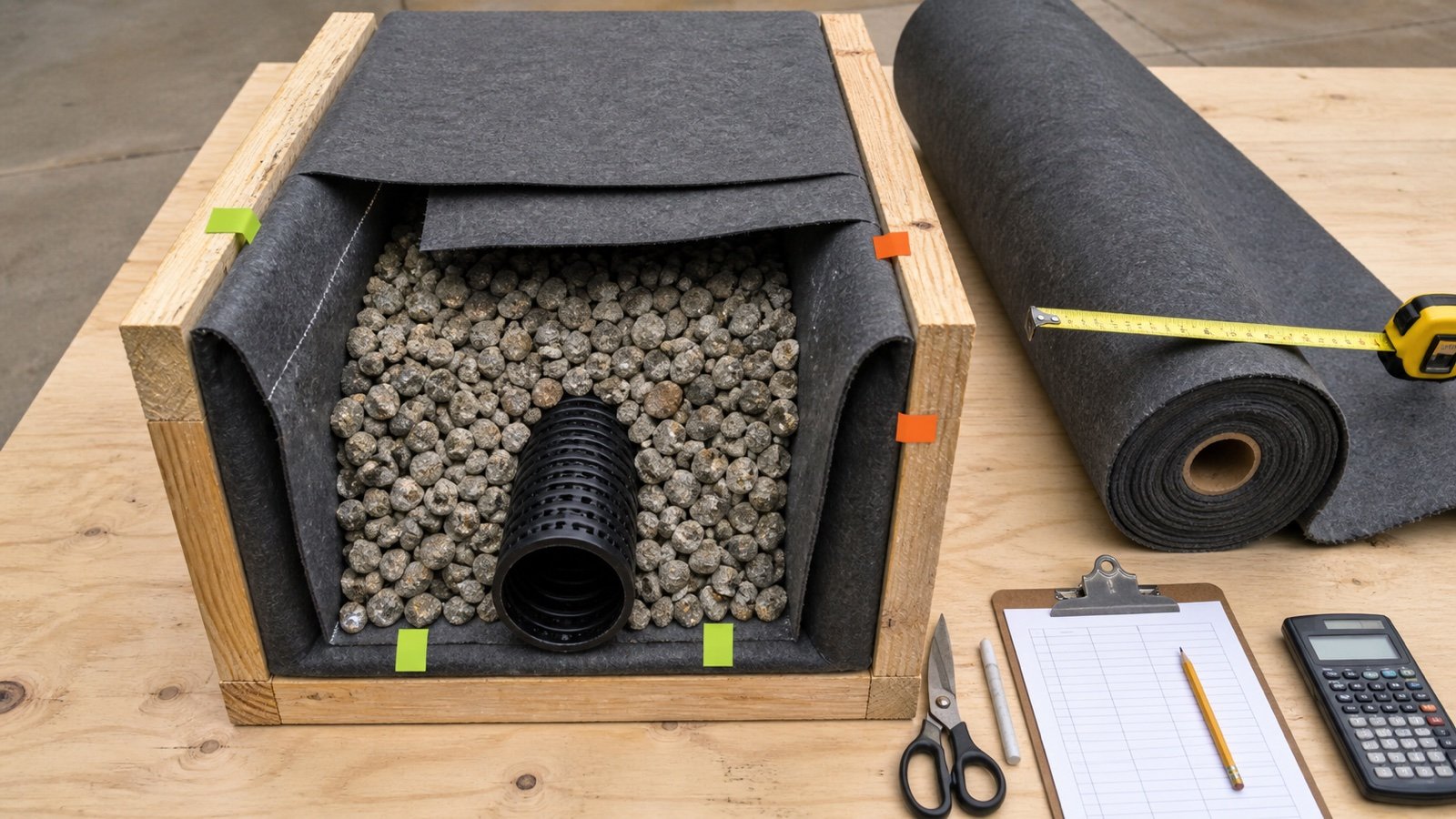
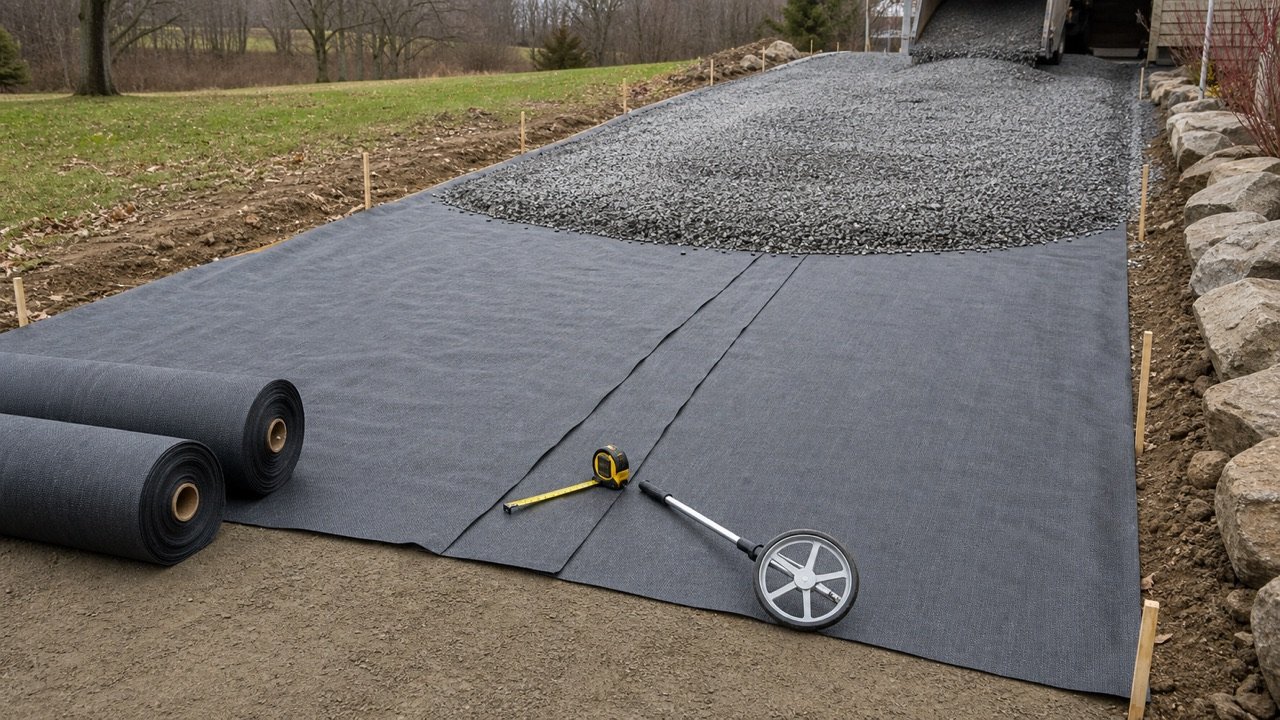
Measure the specified support surface, then plan actual panel widths, overlaps, seams, returns, penetrations, and roll cuts. Aggregate plan area alone does not produce a roll order.
- Use the approved geotextile or geogrid product and installation detail.
- Record whether the material extends below side slopes, edging, or the driveway connection.
- Place seams and overlaps according to the selected product and project specification.
- Separate net covered area, overlap area, returns, cutting loss, and supplier roll rounding.
- Keep drain fabric or filter zones outside the parking-pad sheet total when they use another product.
The geotextile area and roll guide provides a worksheet for panel planning without a universal overlap value.
Does gravel make every parking pad permeable?
A loose-gravel surface alone does not establish the pad's stormwater performance. Surface gradation, compacted layers, underlying soil, groundwater, slope, clogging, storage, drainage route, and outlet all affect the system.
U.S. EPA stormwater examples treat permeable surfaces and swales as designed practices. UK government front-garden guidance also distinguishes surface, sub-base, soil, slope, and drainage conditions.
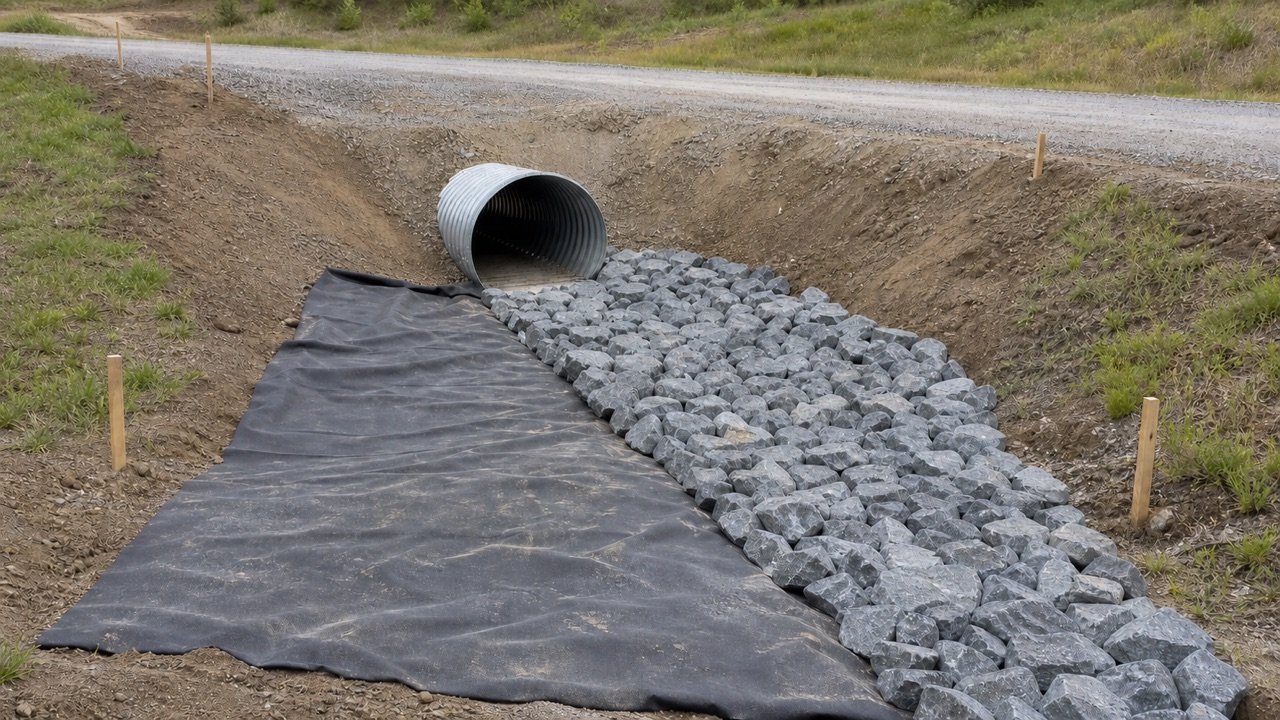
Use the approved drainage design to measure open-graded storage stone, underdrains, filter layers, swales, channels, outlets, and erosion protection. Do not replace those quantities with the visible gravel-surface volume.
How do accessibility requirements change the takeoff?
Keep required accessible spaces, access aisles, routes, markings, slopes, and surface performance within their governing design. Covered gravel lots remain subject to applicable requirements.
The U.S. Access Board parking guide states that covered permanent and temporary parking facilities, including gravel or grass lots, remain subject to applicable accessible-parking requirements. It addresses marked spaces and aisles, firm and stable surfaces, slopes, and route connections within its scope.
Do not deduct an access aisle as unused area when it shares the structural pad. Do not include it under loose surface gravel when the approved accessible surface uses another system. Measure signs, wheel stops, markings, transitions, and routes as separate items where required.
Which site conditions need a new decision?
Pause the takeoff when the proposed pad conflicts with the approved site, drainage, loading, or access assumptions. Extra gravel cannot resolve an undefined design condition.
| Condition | Quantity effect | Decision needed |
|---|---|---|
| Soft, wet, organic, or pumping ground | Undercut, stabilization, drainage, or layer footprint may increase | Obtain the required subgrade and geotechnical direction |
| Steep or irregular slope | Cut, fill, side slope, retaining, and erosion quantities change | Use surveyed grading and engineered support where required |
| RV, truck, trailer, or unusual loading | Layout, turning, pavement section, and clearances can change | Use the approved design vehicle and pavement design |
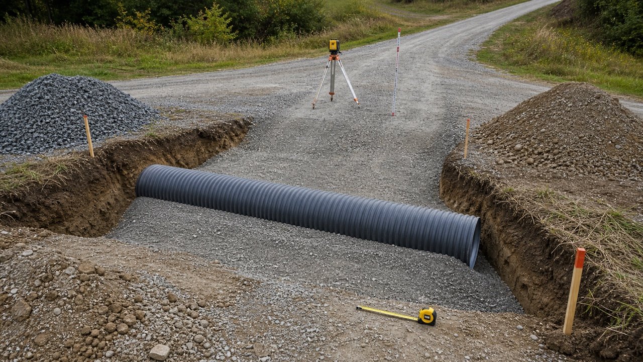
| Public road, sidewalk, or new access | Permit, crossing, apron, drainage, and restoration items may apply | Confirm the road authority and planning requirements |
| Accessible parking or public use | Space, aisle, route, surface, slope, signs, and markings add controls | Apply the governing accessibility standard and site plan |
| Tree, utility, well, septic system, or easement | Footprint, clearance, excavation, and protection quantities change | Resolve ownership, location, clearance, and permit conditions |
| Runoff toward buildings, roads, or neighboring land | Grades, drains, swales, storage, and outlets may change | Use the approved stormwater route and discharge point |
| Retaining edge or raised pad | Fill geometry, wall, drainage, foundation, and safety scope expand | Obtain the required structural and grading design |
Somerset Council's current driveway page provides one local example where highway access, drainage discharge, utilities, level changes, and retaining work can trigger approvals. The project's own jurisdiction controls the decision.
How should a parking pad be entered in the Driveway Gravel Calculator?
Use the Driveway Gravel Calculator after the approved parking-pad footprint and layer schedule are known. Match each entry to geometry the calculator can represent, and keep grading work outside the uniform-layer result.
| Measured condition | Calculator entry | Required check |
|---|---|---|
| One rectangular pad with one base and surface footprint | Rectangle mode with the approved length, width, and separate layer depths | Confirm the corners, net limits, and compacted depths |
| Uniform tapered connection | Uniform taper mode with perpendicular length and the 2 end widths | Exclude overlap with the pad and existing driveway |
| Composite or irregular net footprint | Known-area mode after a checked drawing, survey, or shape ledger supplies the area | Finish all included zones and exclusions first |
| Base and surface use the same footprint | Enter both layers in one run | Keep the 2 products, depths, state conversions, densities, and order increments separate |
| Base and surface use different footprints | Run each footprint separately and leave the inactive layer blank | Add unrounded results only within the matching product and material state |
| Sloped grading fill, excavation, geotextile, drainage, or accessibility work | Outside the calculator | Use the article methods, approved plans, and separate schedules |
The calculator does not design the parking layout or represent changing depth across one entry. A planar fill wedge, local undercut, drain, retaining edge, or non-uniform surface needs its own checked geometry before any compatible aggregate result is added.
How is compacted geometry converted into an order?
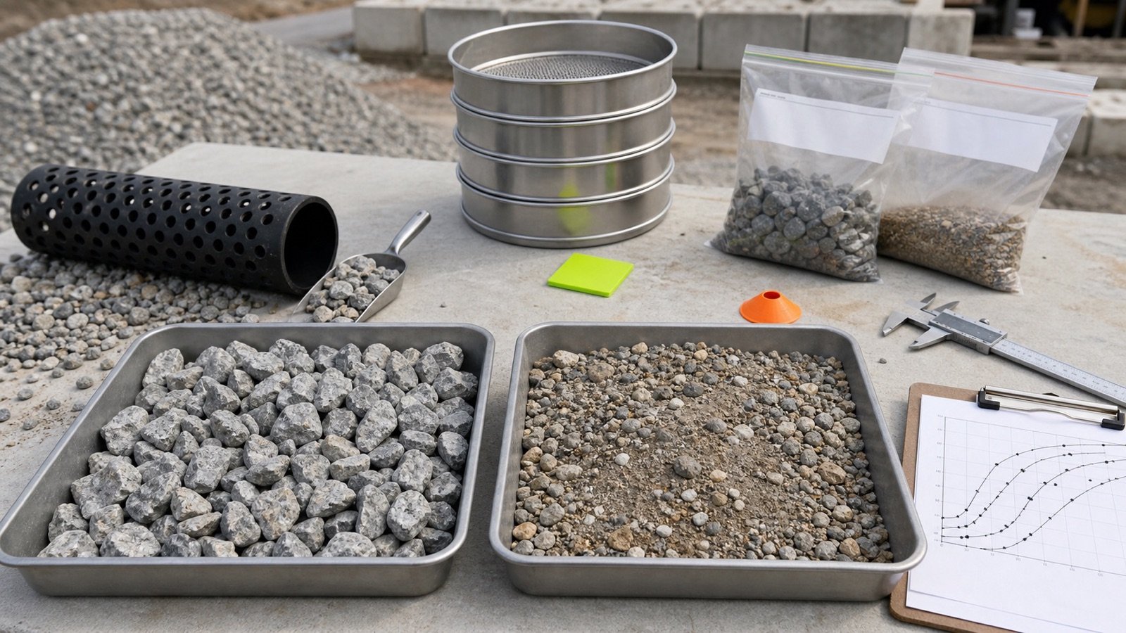
Convert each accepted layer after its net compacted volume is complete. Use evidence for the selected product and the state in which the supplier sells it.
- Sum each material's approved footprint and compacted volume before rounding.
- Subtract accepted reusable material in a compatible state.
- Use a documented loose-to-compacted relationship when the quote uses loose volume.
- Use supplier, quarry, specification, or test bulk density when the quote uses mass.
- Add a handling allowance as a visible line when site evidence supports it.
- Round once to the supplier's selling increment.
- Confirm minimum order, legal payload, number of products, delivery route, unloading area, fees, and quote expiry.
The EPA-hosted gravel quantity appendix labels its coverage depths as uncompacted and includes a compaction warning. That historic road table cannot establish a parking-pad order factor. Review material states in the gravel compaction guide and current pricing in the gravel cost guide.
Common parking-pad quantity mistakes
- Choosing pad dimensions from a generic table instead of the approved layout and vehicle use.
- Counting the driveway connection in both the driveway and parking-pad totals.
- Using one footprint for excavation, fill, geotextile, base, surface, and drainage.
- Multiplying the full pad by the deepest fill at the downhill edge.
- Using a 4-corner average across non-planar ground or a retaining step.
- Netting cut against fill before checking material suitability and state.
- Removing drainage strips, access aisles, or routes from the wrong layer.
- Treating loose gravel as a complete permeable-pavement design.
- Omitting applicable accessibility or permit requirements from a gravel parking layout.
- Using a universal vehicle depth, tons-per-yard value, waste factor, or truck capacity.
- Ordering one combined aggregate total when the section uses separate products.
- Ignoring gate, wall, building, utility, well, septic, tree, and property clearances.
- Rounding each small shape or layer before the material total is complete.
- Ordering before formation levels, drainage, and the driveway tie-in are accepted.
What should the parking-pad quantity record contain?
- Project, location, use, design vehicles, date, weather, and existing conditions.
- Site plan, permit, grading, drainage, pavement section, specification, and revisions.
- Survey datum, pad corners, boundaries, connection, exclusions, and fixed features.
- Existing and target elevations, fill and cut depths, grid or triangles, and checks.
- Gross and net areas for excavation, fill, geotextile, each aggregate layer, and restoration.
- Accepted compacted thickness, product specification, material state, and unrounded volume.
- Reuse source, suitability, processing, quantity, state, and losses.
- Supplier density or loose conversion, selling unit, increment, minimum order, and quote date.
- Delivery route, legal payload, unloading position, equipment access, and sequencing.
- Drainage, accessibility, utility, boundary, retaining, inspection, and permit hold points.
- Prepared by, checked by, open decisions, field changes, approvals, and photographs.
Safety and scope
Locate overhead and buried utilities, control vehicle and equipment movement, protect open excavations, manage dust, and keep people clear of dumping and compaction operations. OSHA excavation guidance describes cave-in and related hazards for US workplaces; apply the rules and competent-person decisions required for the site.
This guide checks quantity geometry and supplier records. It does not approve land use, parking count, vehicle movements, pavement design, subgrade, structural fill, retaining work, drainage capacity, accessibility compliance, utility protection, or construction.
Sources and source scope
- U.S. Access Board, Chapter 5: Parking Spaces: accessible parking, access aisles, surfaces, slopes, markings, and routes where the standards apply.
- U.S. EPA, Stormwater Management Practices at EPA Facilities: permeable pavement, swale, and runoff-management context.
- UK government, Permeable Surfacing of Front Gardens: surface, sub-base, soil, slope, drainage, and planning context for residential hardstandings.
- Somerset Council, Dropped Kerbs and Driveways: a current local example of access, drainage, utility, ground-level, retaining, and permit controls.
- Gravel Roads Manual, Appendix C: Quantity Calculations: historic loose gravel coverage and its stated compaction limitation.
- NIST Guide to the SI, Appendix B.8: exact unit relationships used in the examples.
- OSHA, Trenching and Excavation: US workplace excavation-hazard scope.
Source scope: the agency sources explain why accessibility, drainage, public access, soil, and material state need project evidence. They do not provide one universal parking-pad size, gravel depth, density, waste factor, or pavement section. The worked examples verify geometry for stated hypothetical approved layouts.
Enter compatible approved layers in the Driveway Gravel Calculator, check pad grades with the drainage and grade guide, plan the road connection with the driveway apron quantity guide, or return to the Gravel planning hub.