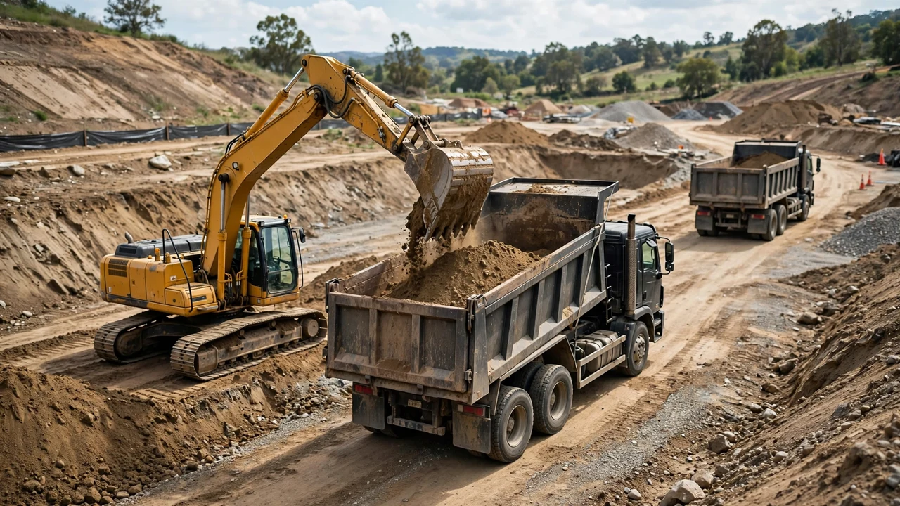
A pond excavation volume comes from three field facts: the top outline, the bottom outline (or the side slopes that fix it), and the vertical depth. The examples below turn those numbers into a checked bank volume in feet and in metres, then handle a pond dug with a bench.
How do you work out a pond excavation volume?
Use the frustum of a pyramid. Add the top area, the bottom area, and the square root of their product, divide by 3, and multiply by the vertical depth. Most pond digs have sloped sides, so the bottom is smaller than the top and a plain length-times-width-times-depth box overstates the dig.
Frustum volume = (top area + bottom area + √(top area × bottom area)) / 3 × depth
Imperial example: rectangular pond with sloped sides
A staked pond measures 60 ft long by 40 ft wide at the top. The design calls for 2H:1V side slopes and a vertical depth of 8 ft.
- Derive the bottom dimensions: 60 - 2 × 2 × 8 = 28 ft; 40 - 2 × 2 × 8 = 8 ft. Both stay positive, so the slope and depth combination can form this pond.
- Compute the areas: top = 60 × 40 = 2,400 ft²; bottom = 28 × 8 = 224 ft².
- Geometric mean: √(2,400 × 224) = √537,600 = 733.21.
- Add: 2,400 + 224 + 733.21 = 3,357.21. Divide by 3: 1,119.07.
- Multiply by depth: 1,119.07 × 8 = 8,952.57 ft³.
- Convert: 8,952.57 / 27 = 331.6 yd³ bank.
Result: 331.6 yd³ bank. Check it a second way: the average-end-area shortcut gives (2,400 + 224) / 2 × 8 = 10,496 ft³, which is 17.2% higher for the same measurements. On a heavily tapered pond the shortcut overstates badly, which is why the frustum is the working number.
Metric example: circular pond
A circular pond has a top diameter of 24.0 m (radius 12.0 m), a bottom diameter of 12.0 m (radius 6.0 m), and a vertical depth of 3.0 m.
- Top area = π × 12.0² = 452.39 m². Bottom area = π × 6.0² = 113.10 m².
- Geometric mean: √(452.39 × 113.10) = 226.19.
- Add: 452.39 + 113.10 + 226.19 = 791.68. Divide by 3: 263.89.
- Multiply by depth: 263.89 × 3.0 = 791.68 m³ bank.
Result: 791.7 m³ bank, which is 791.7 × 1.30795 = 1,035.5 yd³ bank. The conversion uses 1 m³ = 1.30795 yd³ (NIST Handbook 44, 2026, Appendix C).
| Conversion | Factor | Direction |
|---|---|---|
| Cubic feet to cubic yards | 1 yd³ = 27 ft³ | Divide ft³ by 27 |
| Cubic metres to cubic yards | 1 m³ = 1.30795 yd³ | Multiply m³ by 1.30795 |
| Cubic metres to cubic feet | 1 m³ = 35.3147 ft³ | Multiply m³ by 35.3147 |
What if the pond has a bench?
Split the dig at the bench and run one frustum per segment, then add. A pond measures 40 ft by 30 ft at the top, has a bench measuring 32 ft by 22 ft at 4 ft depth, and a bottom of 24 ft by 14 ft at 8 ft total depth.
Upper frustum: (1,200 + 704 + 919.13) / 3 × 4 = 3,764.2 ft³. Lower frustum: (704 + 336 + 486.36) / 3 × 4 = 2,035.1 ft³.
Result: 3,764.2 + 2,035.1 = 5,799.3 ft³, which is 214.8 yd³ bank. Do not average the two sections first, because the segments carry different depths.
How do you check the answer before the order?
- Confirm the depth was read vertically, not down the side slope. A slope reading inflates the area.
- Confirm the bottom dimensions stay positive when derived from slopes; a negative answer means the slope, depth, and top size cannot combine into a real pond.
- Re-run the volume by a second path, such as the average-end-area comparison shown above.
- Label the state beside every number: 331.6 yd³ bank is not the loose spoil volume. Keep bank and loose records separate as the bank vs loose volume guide shows.
- Keep the topsoil strip as its own quantity; the pond excavation guide shows how soil handling changes the plan.
- Do not use the pond water capacity as the excavation volume. Water capacity ignores side slopes, overbreak, and the liner bedding zone.
The pond ordering guide turns the loose figure into haul and disposal plans, and the common pond excavation mistakes page collects the errors that most often reach the order.
Sources and scope
- NIST Handbook 44, 2026 Appendix C: cubic-foot, cubic-yard, and cubic-metre relationships used for the unit conversions.
- U.S. Office of Surface Mining Reclamation and Enforcement, Directive TSR-1 Appendix A: bank, loose, and compacted volume definitions used for the state labels.
- OSHA Trenching and Excavation and 29 CFR 1926.651: U.S. occupational excavation-safety context.
Scope: the fixtures demonstrate the calculation method with stated inputs. Field measurements, the applicable safety plan, and the project quantity-control process govern real quantities.
Review responsibility: Saleem Sial owns the published calculation, source, and editorial checks. Waseem Sial, External Reviewer and Engineer, remains listed for ongoing external review; no completed external-review date is claimed.
Next, use the pond measurement guide to take the field dimensions, or return to the Earthwork & Drainage Calculators hub.