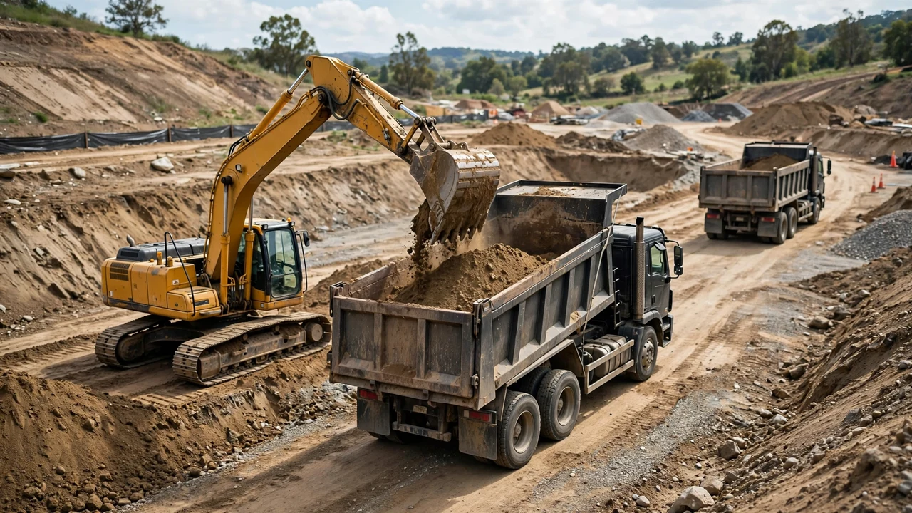
Measure the pond before the excavator arrives. A complete field record has three facts: the top outline, the bottom outline or side slopes, and the vertical depth. Every volume formula consumes those numbers, so a missing one forces a guess.
What does a pond excavation measurement need?
Record the top dimensions at the design excavation line, the bottom dimensions or the side slope that fixes them, and the vertical depth from the design surface to the finished bottom. Write all three beside the date and the measurement method. That record is the entire input to the volume calculation.
Which measurements go on the checklist?
- Top length and top width (or top diameter for a circular pond) at the staked excavation line.
- Bottom length and bottom width (or bottom diameter), or the side slope ratio if the design fixes the slopes.
- Vertical depth from the original ground or design surface to the finished pond bottom.
- Depth readings at enough points to catch an uneven bottom, plus the grid spacing used.
- Any bench: its width, its depth below the surface, and the slope below it.
- Soil or material notes at the bottom (clay, rock, water table) that affect haulage or disposal.
Checklist done, move on. Anything not on this list is a design or safety decision, not a measurement.
How do you measure the surface?
Stake the design top outline on undisturbed ground, not inside the dig. Run a taut string between opposite stakes and measure along it with a steel tape. Record length and width to the nearest 0.1 m or 0.5 ft.
For a circular pond, measure the diameter across the widest point with the tape crossing the marked center stake. Measure twice at right angles; if the two readings differ by more than a few percent, the pond is oval and should be recorded as length by width instead.
Measure before topsoil is stripped when the design dimensions start at the original surface. Stripping changes the reference surface, so record which surface the depth measurements start from.
How do you measure depth correctly?
Read depth vertically. A rod pushed down the side slope reads longer than the true depth, and that error inflates the whole volume. Set a level line (string level, builder's level, or laser level) from the design surface reference and read the rod plumb.
Take depth readings across the pond, not only at the deepest point. One reading at the center and four or more near the edges is a starting set for a pond under about 300 m2. The finished bottom is rarely flat: an excavated pond is shallower near the edges, so a single maximum-depth reading overstates the volume. One pond-calculator guide puts that typical overstatement at 20 to 40 percent.
If the pond is already holding water, sound the bottom from a boat or platform with a marked rod or sounding line, recording each depth against a surface position. Underwater soundings carry extra uncertainty from bottom softness and position error, so note the method beside the numbers.
How do side slopes change the measurement?
Most pond excavations have sloped sides, which means the bottom is smaller than the top. Record the slope as a horizontal-to-vertical ratio (for example 3H:1V). With a uniform slope you can derive the bottom dimensions instead of digging to measure them.
Bottom dimension = top dimension - 2 × slope × depth
A top width of 12.0 m, a 3H:1V slope, and a depth of 2.5 m give a bottom width of 12.0 - 2 × 3 × 2.5 = -3.0 m. A negative answer means the slope and depth combination cannot form that pond: either the design slope is flatter, the pond is deeper than the geometry allows, or the design calls for a bench. Check the arithmetic before the machine work starts.
Benches need their own record. A bench that breaks the slope into two different ratios splits the pond into two stacked frusta, and each part needs its own top, bottom, and depth. Forcing one slope over a benched section miscounts the volume.
What if the pond outline is irregular?
Stake a regular grid over the staked outline and read the vertical depth at each grid intersection that falls inside it. Average all the readings, then multiply by the top surface area measured from the same outline.
Volume ≈ top area × average of grid depths
A grid of 5 m by 5 m is a reasonable start for ponds around 1,000 m2; use a tighter grid where the bottom is uneven. The average is only as good as the coverage: a grid that misses the deep end understates the volume, and readings clustered in the shallow edges understate it the same way.
Which formula do these measurements feed?
Three formulas cover the common shapes, and each one asks for the measurements above.
For a rectangular or square pond with sloped sides, use the frustum of a pyramid: the top area, the bottom area, and the depth. The average-end-area shortcut ((A1 + A2) / 2 × depth) always reads higher than the frustum on a tapered shape, by about 4 percent in the worked examples below.
Frustum volume = (top area + bottom area + √(top area × bottom area)) / 3 × depth
For a circular pond, use the same frustum formula with circle areas (π × radius²) for both ends. For an irregular pond, use the grid method above.
| Shape | Measurements needed | Formula |
|---|---|---|
| Rectangular with sloped sides | Top length/width, bottom length/width or slopes, vertical depth | Frustum of a pyramid |
| Circular with sloped sides | Top diameter, bottom diameter or slopes, vertical depth | Frustum with circle areas |
| Irregular outline | Top area, grid depth readings, grid spacing | Top area × average depth |
| Benched | Top, bench, and bottom dimensions with each segment's depth | Frustum per segment, added |
Worked example: rectangular pond
A staked pond measures 20.0 m long by 12.0 m wide at the top. The bottom measures 14.0 m by 6.0 m after the design slopes are applied, and the vertical depth is 2.5 m.
Top area = 20.0 × 12.0 = 240.0 m². Bottom area = 14.0 × 6.0 = 84.0 m².
- Multiply the areas: 240.0 × 84.0 = 20,160.0.
- Take the square root: √20,160.0 = 141.986.
- Add: 240.0 + 84.0 + 141.986 = 465.986.
- Divide by 3: 465.986 / 3 = 155.329.
- Multiply by depth: 155.329 × 2.5 = 388.32 m³ bank.
Result: 388.3 m³ bank. The average-end-area shortcut gives (240 + 84) / 2 × 2.5 = 405.0 m³, which is 16.7 m³ (4.3%) higher for the same measurements.
Worked example: circular pond
A circular pond has a top diameter of 30.0 ft (radius 15.0 ft), a bottom diameter of 18.0 ft (radius 9.0 ft), and a vertical depth of 6.0 ft.
Top area = π × 15.0² = 706.86 ft². Bottom area = π × 9.0² = 254.47 ft².
- Multiply the areas: 706.86 × 254.47 = 179,874.7.
- Take the square root: √179,874.7 = 424.12.
- Add: 706.86 + 254.47 + 424.12 = 1,385.45.
- Divide by 3: 1,385.45 / 3 = 461.82.
- Multiply by depth: 461.82 × 6.0 = 2,770.9 ft³.
- Convert: 2,770.9 / 27 = 102.6 yd³ bank.
Result: 102.6 yd³ bank. The average-end-area shortcut gives 106.8 yd³, which is 3.9% higher.
Common pond excavation measurement mistakes
- Using the maximum depth as the average depth in the volume formula.
- Reading depth down the side slope instead of vertically.
- Recording only the top dimensions and assuming vertical walls.
- Mixing the bank excavation volume with loose spoil or truck estimates; keep the material states separate.
- Treating an embankment slope recommendation as the excavation slope; embankment practice and excavation design answer different questions.
- Using the pond water volume as the excavation volume, which ignores slopes, overbreak, and the liner bedding zone.
- Measuring a reference surface after topsoil stripping without recording the change.
- Sounding an underwater bottom without noting the method and its uncertainty.
Safety and professional scope
Measurement does not set the excavation slope, protective systems, equipment, haul routes, or spoil placement. Those follow the project documents, applicable law, site conditions, and responsible competent or qualified people.
For U.S. work, OSHA identifies cave-ins as the main excavation hazard. OSHA 29 CFR 1926.651 covers soil classification, protective systems, water accumulation, adjacent structures, and competent-person inspections. Locate underground utilities before any covered digging. Other countries use their own workplace rules.
Take measurements from a safe location using the approved survey or quantity-control method. Keep people, spoil, vehicles, and equipment at the distances the governing safety plan requires.
Sources and scope
- U.S. Office of Surface Mining Reclamation and Enforcement, Directive TSR-1 Appendix A: bank, loose, and compacted volume definitions and swell context.
- NIST Handbook 44, 2026 Appendix C: cubic-foot, cubic-yard, and cubic-metre relationships.
- University of Missouri Extension, Pond Construction and Management Considerations (citing USDA NRCS Agricultural Handbook 590, Ponds — Planning, Design, Construction): 3:1 or flatter side slopes for new pond embankments.
- OSHA Trenching and Excavation and 29 CFR 1926.651: U.S. occupational excavation-safety context.
Scope: this page covers how to measure pond excavation geometry for bank volume. The governing drawings, geotechnical information, safety plan, contract measurement provisions, applicable law, and responsible qualified people control the accepted slope, factor, and final project quantity.
Review responsibility: Saleem Sial owns the published calculation, source, and editorial checks. Waseem Sial, External Reviewer and Engineer, remains listed for ongoing external review; no completed external-review date is claimed.
Next, read the bank and loose volume guide before converting the bank figure into haulage planning, or return to the Earthwork & Drainage Calculators hub.