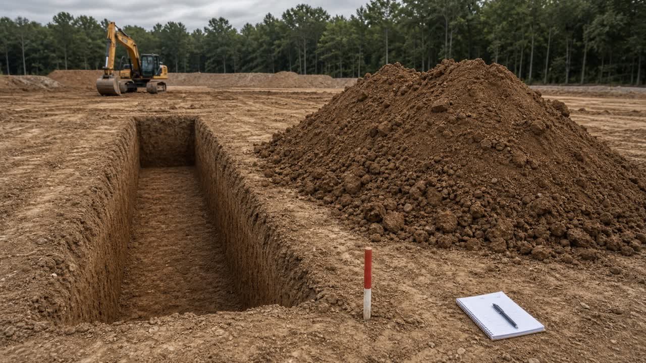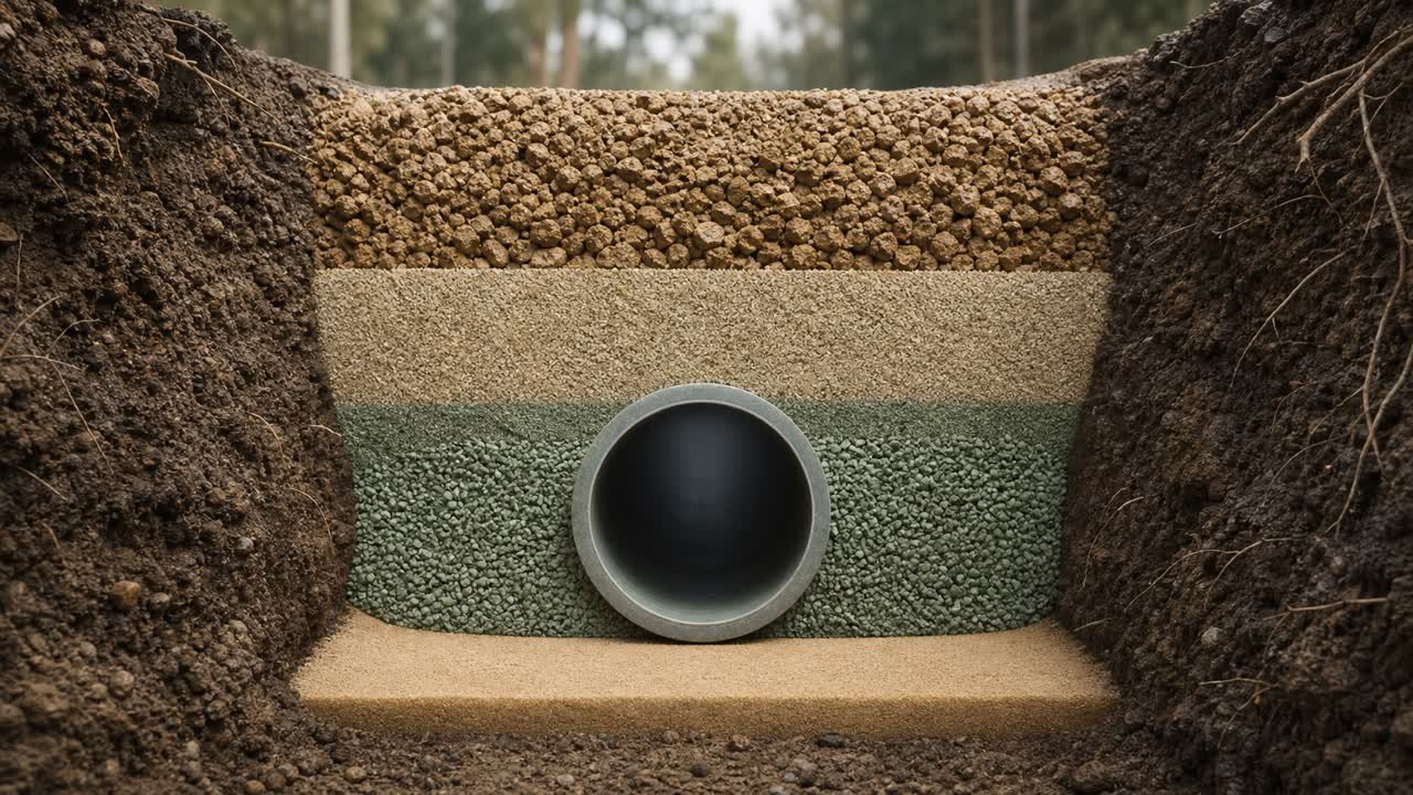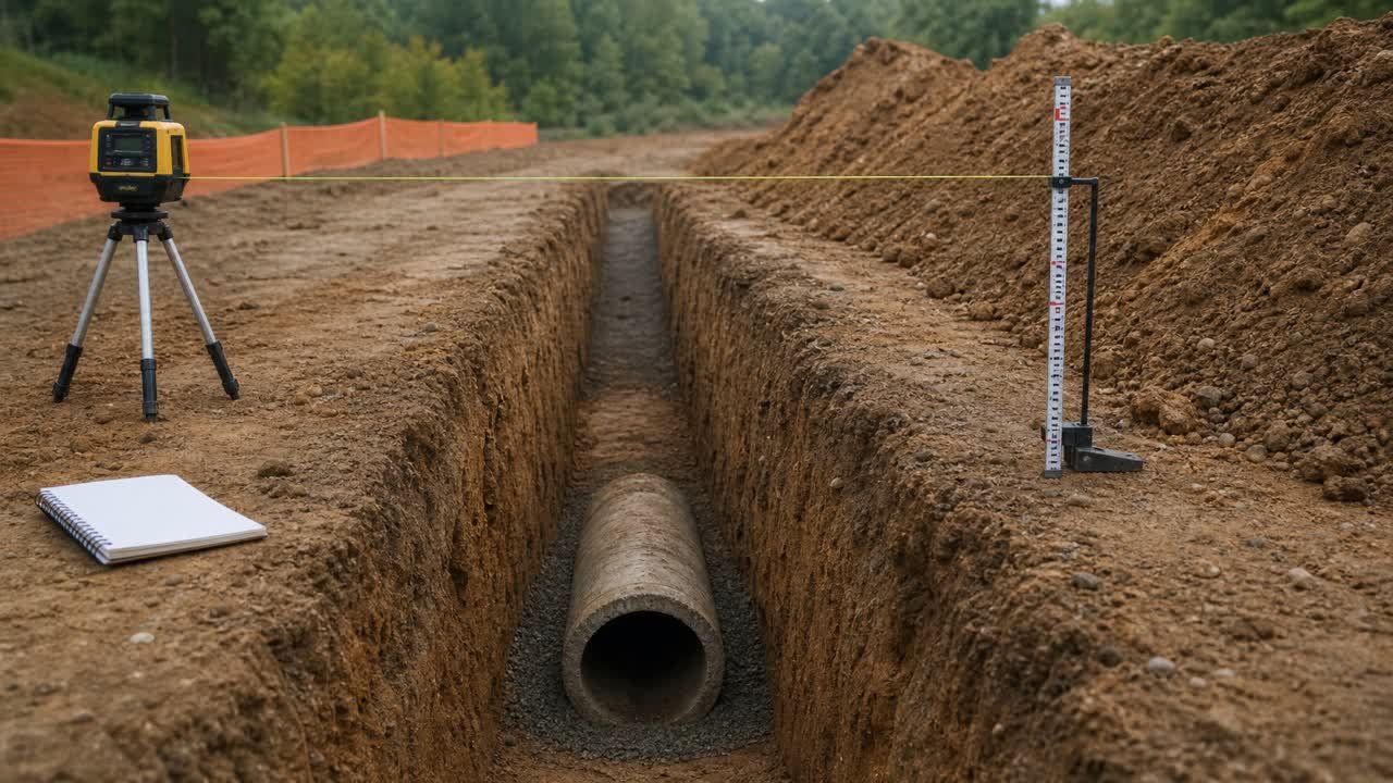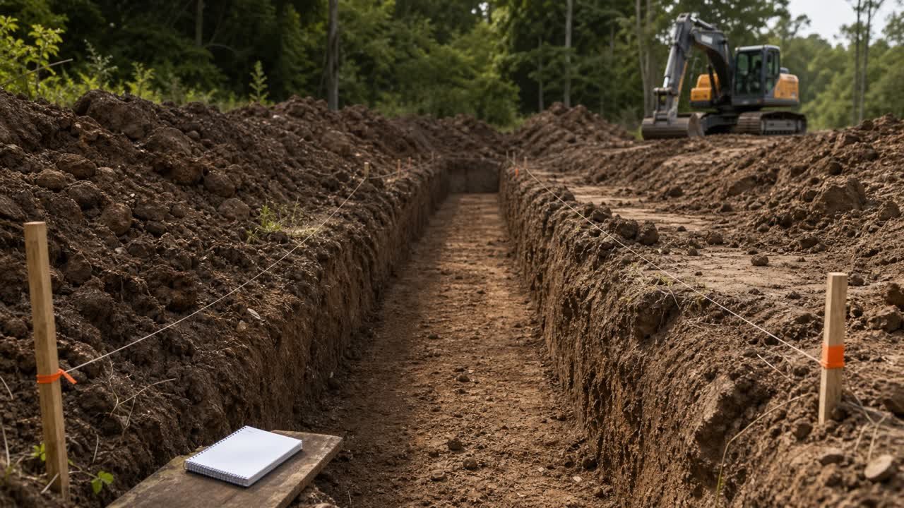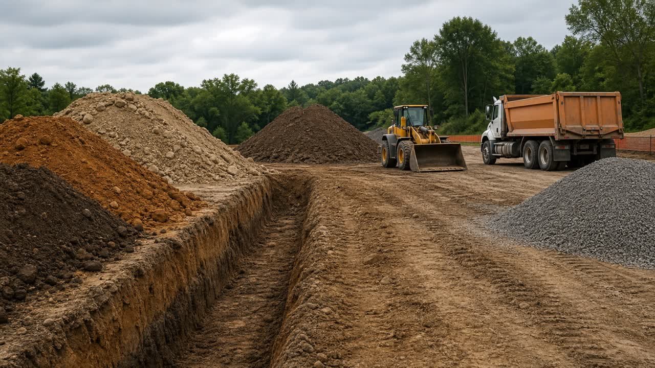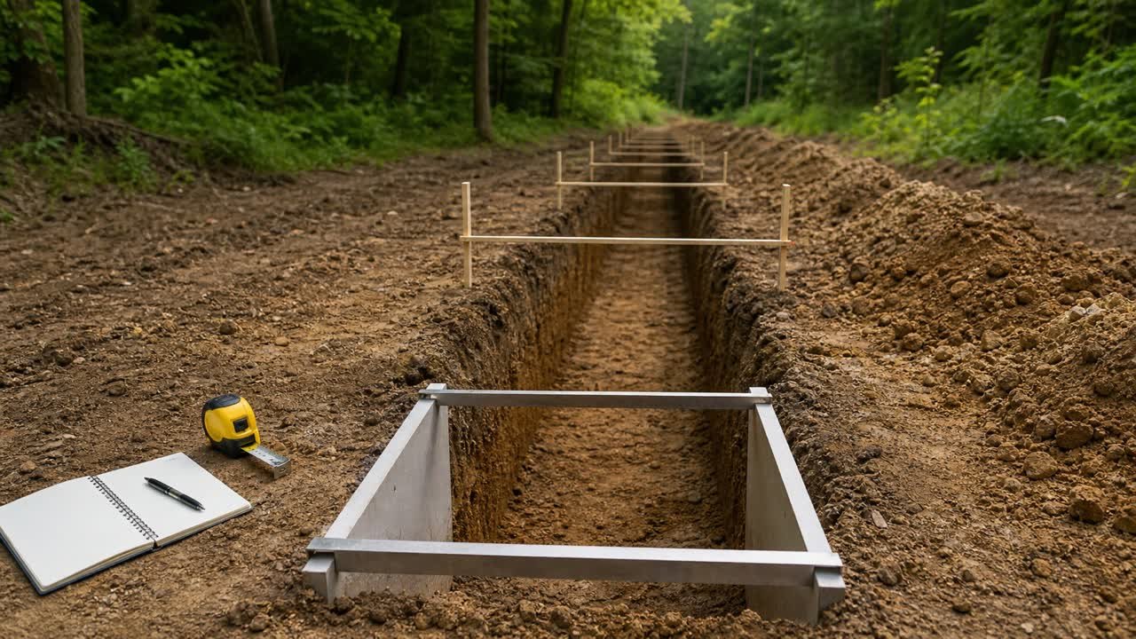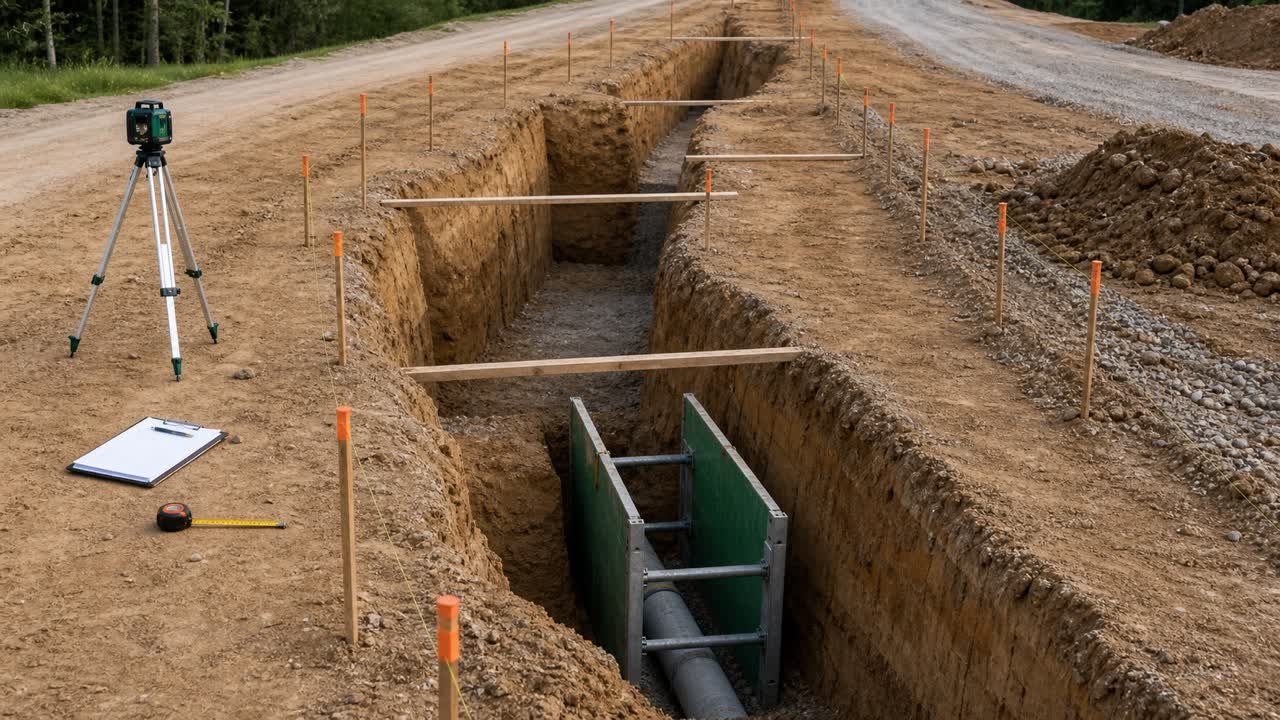
A trench route can change at a service crossing, grade break, structure, bend, or different excavation detail. Record those changes at named stations, calculate the excavation area at each station, and total the volume between adjacent sections.
How do you measure a trench when width and depth change?
Divide the route at every meaningful change and assign a station to each boundary. Measure or obtain the excavation cross-section at each station, calculate its area, then use the approved volume method between adjacent sections.
Each segment should end at the same station where the next segment begins. This prevents gaps, overlaps, and untraceable averages.
The Trench Excavation Calculator handles uniform rectangular sections. Use the station method on this page when the end areas differ or when the project requires cross-section quantities.
Where should trench measurement stations go?
Place a station at the start and end of the measured route. Add another station wherever the excavation boundary, alignment, formation, structure, material zone, or measurement rule changes.
- Start and end of the trench run.
- Ground or formation grade break.
- Change in bottom width, top width, side geometry, or depth.
- Bend, junction, branch, chamber, pit, crossing, or widened connection.
- Change in shoring, shielding, sloping, benching, or other approved excavation detail.
- Boundary between materials, work items, pay limits, or survey surfaces.
- Location where a midpoint check shows that the end sections do not represent the shape between them.
There is no universal station interval. The FHWA OpenRoads quantity manual explains that average end-area accuracy depends on how often sections are analysed and that an important feature between sections can be missed. Follow the governing drawings, survey plan, tolerance, contract method, and responsible survey or engineering direction.
What should you record at every station?
Use one alignment reference and one unit system. Record the station identifier, source, excavation boundary, cross-section shape, and calculated area before moving to the next segment. The trench depth from invert guide shows how to reconcile surface, invert, pipe, and formation elevations before those depths enter the section record.
| Field | Record | Why it matters |
|---|---|---|
| Station | Chainage, station, offset, or named field reference | Connects the section to the route |
| Source | Drawing, design model, pre-excavation survey, as-built survey, or approved field change | Identifies what the quantity represents |
| Alignment | Reference line and section orientation | Controls segment length and curve treatment |
| Bottom and top limits | Widths, offsets, elevations, and approved side geometry | Defines the excavation area |
| Depth | Vertical difference between the stated surfaces | Prevents slope length from replacing vertical depth |
| Area | Calculated or surveyed cross-sectional area with unit | Feeds the volume formula |
| Status | Design, tender, revised, actual, or payment record | Keeps unlike quantities separate |
Collect actual-excavation measurements through the project's safe survey method. Do not enter an unsupported or hazardous trench to obtain a quantity reading.
How do you calculate a rectangular or trapezoidal end area?
A rectangular section uses one excavation width and vertical depth. A trapezoidal section uses parallel top and bottom widths with a stated vertical depth.
Rectangular end area = excavation width × vertical depth
Trapezoidal end area = (top width + bottom width) ÷ 2 × vertical depth
Use these formulas only when the measured shape matches them. A benched, asymmetric, curved, shored, or irregular section may need coordinates, component areas, a survey surface, or the governing design model.
Do not average width and depth across an abrupt change
Multiplying one route-wide average width by one route-wide average depth can hide where the wide and deep portions occur together. Calculate the area at each station first. The end-area method then combines adjacent areas over a known distance.
What is the average end-area formula?
The average end-area method averages the cross-sectional areas at 2 adjacent stations and multiplies that average by the distance between them. Iowa DOT defines the method as:
Segment volume = length × (start area + end area) ÷ 2
Use compatible units. Metres multiplied by square metres produce cubic metres. Feet multiplied by square feet produce cubic feet, which can be divided by 27 to obtain cubic yards.
Worked metric example with changing width and depth
Two rectangular station sections are 12 m apart. At the first station, the trench is 0.75 m wide and 1.20 m deep. At the second, it is 0.90 m wide and 1.50 m deep.
- Start area: 0.75 × 1.20 = 0.90 m².
- End area: 0.90 × 1.50 = 1.35 m².
- Average area: (0.90 + 1.35) ÷ 2 = 1.125 m².
- Segment volume: 12 × 1.125 = 13.50 m³.
The result represents the stated excavation boundary between those stations under the average end-area method. It does not add swell, over-excavation, backfill, or supplier rounding.
When should you check the prismoidal formula?
Use a representative midpoint area when the project method calls for a prismoidal calculation or when you need to test whether the 2 end areas describe the shape between them. Iowa DOT gives the formula:
Prismoidal volume = length × (start area + 4 × midpoint area + end area) ÷ 6
For the 12 m example, assume a measured midpoint section of 0.82 m × 1.31 m. Its area is 1.0742 m².
- Multiply the midpoint area by 4: 4 × 1.0742 = 4.2968 m².
- Add the 3 weighted areas: 0.90 + 4.2968 + 1.35 = 6.5468 m².
- Multiply by 12 ÷ 6: 2 × 6.5468 = 13.0936 m³.
The average end-area result is 13.50 m³, while the prismoidal result is 13.0936 m³. The difference is 0.4064 m³, about 3.10% of the prismoidal result. The midpoint shows that the section did not grow in the exact pattern implied by the 2-end average.
Do not choose the lower or higher answer because it suits the estimate. Use the method required by the project and improve the measurement data when the difference matters.
How do you calculate trapezoidal sections in cubic yards?
Calculate each trapezoidal end area first, then apply the average end-area formula. Assume 2 sections are 20 ft apart.
| Station | Bottom width | Top width | Depth | Area |
|---|---|---|---|---|
| 0+00 | 2.0 ft | 4.0 ft | 3.0 ft | 9.0 ft² |
| 0+20 | 2.5 ft | 5.5 ft | 4.0 ft | 16.0 ft² |
- Average the areas: (9 + 16) ÷ 2 = 12.5 ft².
- Multiply by length: 12.5 × 20 = 250 ft³.
- Convert to cubic yards: 250 ÷ 27 = 9.259 yd³.
The top and bottom widths in this example define geometry only. They do not select an excavation protective system. Use the approved project and safety process to establish the actual cross-section.
How do you total several trench segments?
Carry the end area at each shared station into the next segment. Add the unrounded segment volumes, then round the final in-place total at the precision required by the record.
| Segment | Length | Start area | End area | Volume |
|---|---|---|---|---|
| 0+00 to 0+20 | 20 ft | 8 ft² | 10 ft² | 180 ft³ |
| 0+20 to 0+45 | 25 ft | 10 ft² | 14 ft² | 300 ft³ |
| Total | 45 ft | 3 connected stations | 480 ft³, or 17.778 yd³ | |
The shared 10 ft² area at station 0+20 closes the first segment and opens the second. If the 2 records show different areas at the same station, resolve the revision, boundary, or transcription error before totalling.
How do you audit station continuity before approving the total?
Check the route as a chain of connected records. The end station and end area of one row must match the start station and start area of the next row unless a documented boundary, revision, or method change explains the break.
| Row | Start station | End station | Method | Segment volume | Cumulative volume | Continuity check |
|---|---|---|---|---|---|---|
| 1 | 0+00, 8 ft² | 0+20, 10 ft² | Average end area | 180 ft³ | 180 ft³ | Opens at route start |
| 2 | 0+20, 10 ft² | 0+45, 14 ft² | Average end area | 300 ft³ | 480 ft³ | 0+20 station and area match row 1 |
Run 4 checks before accepting the total: the station chain has no gap or overlap; the shared area and revision agree; every row states its calculation method; and the final cumulative volume equals the sum of the unrounded segment volumes. A changed cross-section at the same station needs a separate revision or boundary note rather than a silent overwrite.
Keep later adjustments outside this ledger. Use the trench overbreak guide for excavation beyond the stated boundary, the bank versus loose volume guide for material-state conversion, and the trench backfill guide for pipe, bedding, and backfill zones.
How should bends and curved trenches be measured?
Measure segment length along the stated reference alignment and place sections normal to that alignment unless the governing survey method specifies another orientation. Add a station at a sharp bend rather than drawing one end area across the corner.
The USACE Plans Preparation Manual warns that wide cross-section intervals on curves or changing alignment angles can skew comparative sections and misrepresent the distances used in average end-area calculations. Shorter intervals can help, but the project survey method controls the required treatment.
Keep branches and structures separate
Calculate a branch from its own junction station. Treat chambers, manholes, thrust blocks, pits, widened joints, and other compact excavations as separate shapes or surveyed volumes. Subtract an overlap once when 2 excavation volumes occupy the same space.
When is a surface model better than end areas?
Use the project's approved surface or solid model when the trench has irregular walls, many bends, dense survey data, overlapping excavations, or changes that a small set of sections cannot represent. A triangulated surface method compares the applicable surfaces throughout their shared extent.
FHWA notes that average end-area calculations ignore the model between the selected cross sections. USACE also states that the accuracy and density of the surface data control triangulated results. Software output still needs boundary, unit, revision, and hand-check verification.
Which trench quantity are you measuring?
Name the quantity before comparing totals. Similar-looking cubic-yard or cubic-metre figures can describe different boundaries and project stages.
| Quantity | Boundary or state | Control source |
|---|---|---|
| Design or neat-line volume | Excavation lines and grades shown by the approved design | Drawings, model, specification, and revisions |
| Estimated construction volume | Planned excavation method and approved geometry | Method, temporary works, field constraints, and estimate basis |
| Actual excavated volume | Surveyed pre-excavation and post-excavation surfaces or sections | Approved survey and measurement procedure |
| Payment quantity | Measured or theoretical boundary allowed by the contract | Contract measurement and pay provisions |
| Loose spoil volume | Excavated material after disturbance | Material-specific state conversion or direct measurement |
| Backfill volume | Accepted fill zones after subtracting permanent components where required | Project details, materials, placement, and testing rules |
Do not apply a swell factor to cross-section dimensions. Calculate the in-place excavation volume first, then convert that total to a loose state with project-specific evidence when haul or stockpile planning needs it.
Build a checkable trench quantity sheet
- Project, route, drawing, model, and revision identifiers.
- Measurement purpose: design, estimate, actual, payment, or another stated basis.
- Alignment, station direction, datum, units, and section orientation.
- Start, midpoint when used, and end cross-section measurements.
- Shape formula or surveyed area for each station.
- Distance, volume method, and unrounded result for each segment.
- Reason for every added or omitted station.
- Separate line for overlaps, structures, exclusions, and approved changes.
- Final in-place total before material-state or commercial adjustments.
- Prepared date, checker, unresolved assumptions, and source links.
Measure from a safe position
Quantity work does not authorize trench entry. Use plans, models, remote survey equipment, surface observations, or another approved method that fits the project safety plan.
For U.S. construction work, OSHA identifies cave-ins as the main trench hazard. OSHA 29 CFR 1926.651 also covers underground installations, access and egress, hazardous atmospheres, water accumulation, adjacent structures, loose material, and competent-person inspections. Other countries use their own workplace rules.
The quantity method does not design sloping, benching, shoring, shielding, access, dewatering, or traffic control. Those decisions come from the applicable rules, site conditions, project documents, and responsible competent or qualified people.
Common variable-trench measurement mistakes
- Using one route-wide average width and depth across abrupt changes.
- Skipping a station at a bend, junction, structure, or grade break.
- Mixing a design section with an actual excavation section in one segment.
- Measuring a sloped side length as vertical depth.
- Applying the rectangle formula to a trapezoidal, benched, or irregular section.
- Using cross-section intervals that miss an important feature between stations.
- Letting sections become skewed on a curve without checking the alignment method.
- Rounding every end area or segment before adding the total.
- Applying swell, over-excavation, and payment rules to the same number without separate records.
- Treating software output as checked without reviewing the boundary, units, revision, and a hand fixture.
Saleem Sial owns the published calculation, source, and editorial checks. Waseem Sial, External Reviewer and Engineer, remains listed for ongoing external review; no completed external-review date is claimed.
Sources and scope
- Iowa DOT Earthwork Design Overview: average end-area and prismoidal formulas and method guidance.
- FHWA Federal Lands OpenRoads Designer User Manual, Chapter 20: cross-section frequency, between-section limitations, quantity reports, and software-check context.
- USACE Plans Preparation Manual, Appendix B-5: average end-area workflow, cross-section interval, curve, skew, and surface-data limitations.
- NIST Handbook 44, 2026 Appendix C: volume-unit relationships.
- OSHA Trenching and Excavation and 29 CFR 1926.651: U.S. occupational trench-hazard and excavation-requirement context.
Scope: this page explains quantity measurement for a changing trench. The governing drawings, survey procedure, contract, measurement and payment rules, safety plan, temporary-works design, applicable law, and responsible qualified people control the final geometry, method, tolerances, protective systems, construction, and accepted quantity.