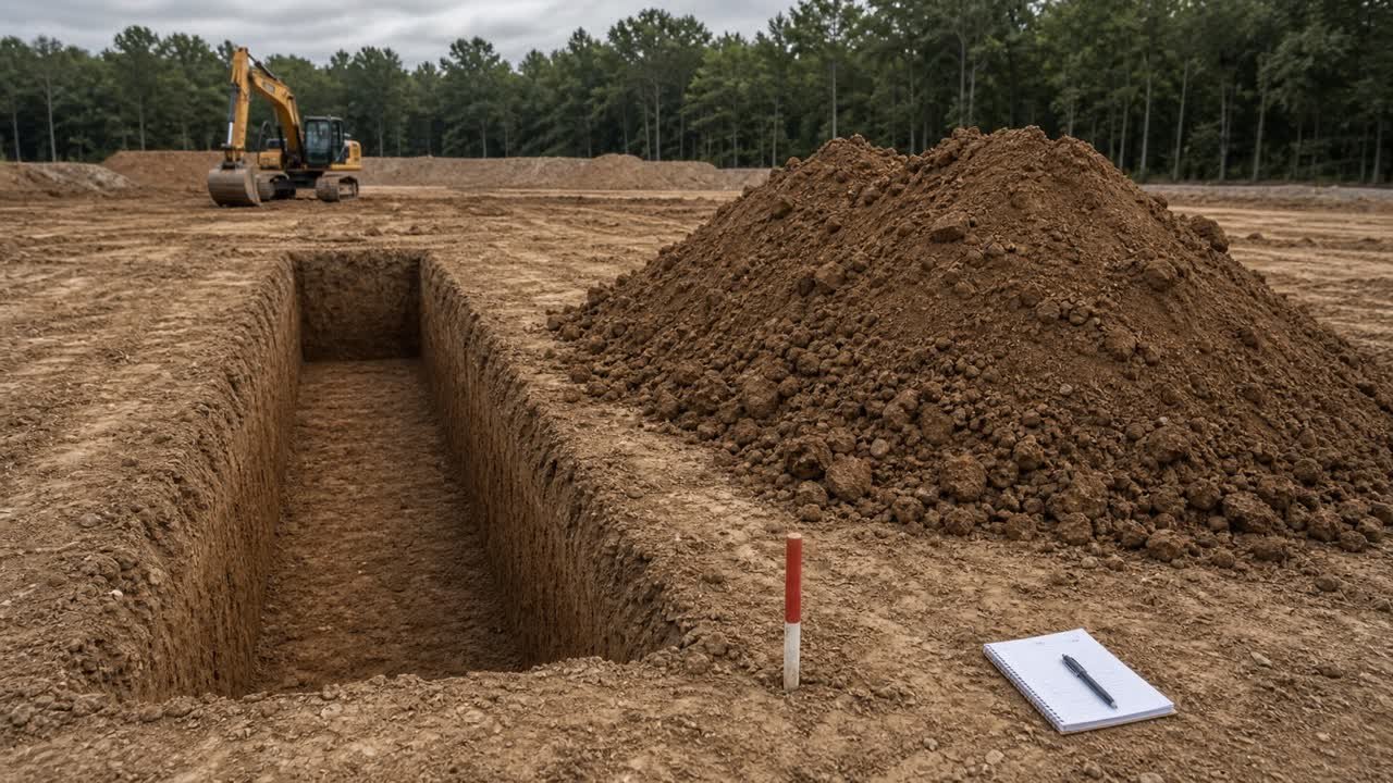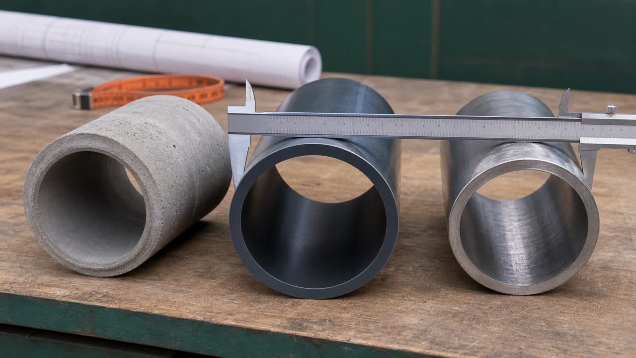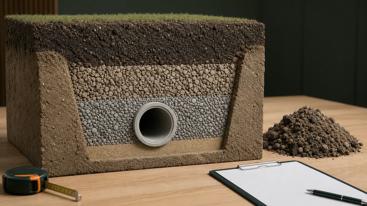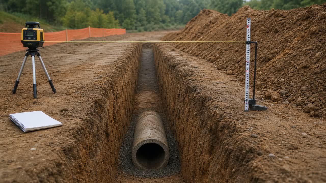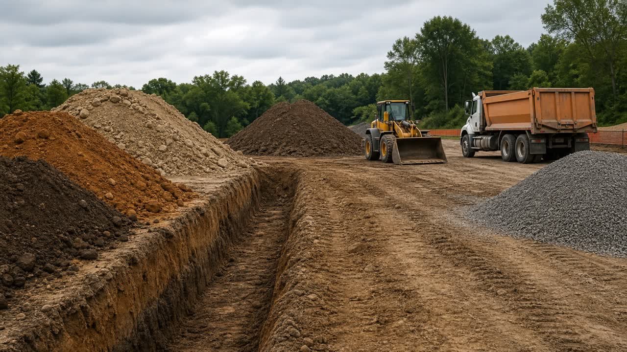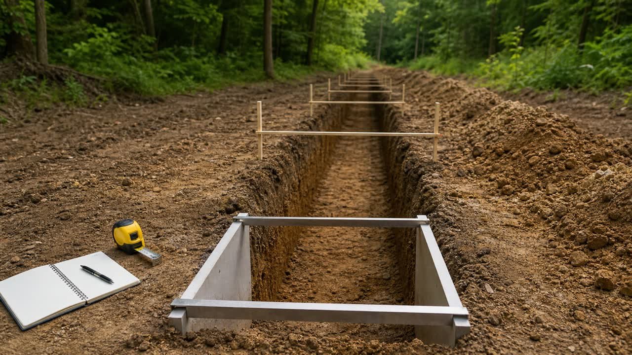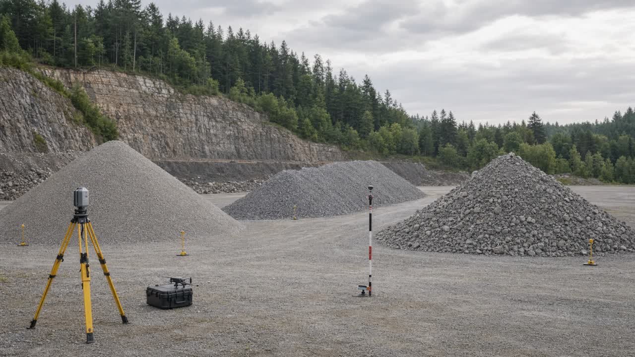
A stockpile estimate starts with a boundary, an upper surface, and a base surface. The visible pile supplies the upper shape. The chosen lower surface controls where the measured volume stops.
Small regular piles can support a planning estimate from a few dimensions. Irregular piles, hidden bases, merged piles, and payment quantities need a surveyed surface-to-surface method and a record that another checker can reproduce.
How do you calculate stockpile volume?
Choose a shape that matches the pile, measure its dimensions from one stated base surface, and apply the matching geometric formula. Use a surface survey when the pile cannot be represented by a cone, windrow, or compatible flat-top form.
Stockpile volume = volume between the measured upper surface and the selected base surface
A formula answers the geometry. The record must identify the material, loose-volume state, measurement date, units, boundary, base assumption, and intended use.
A correct cone formula can still produce a weak quantity when height is measured from an assumed level that does not match the ground beneath the pile.
Confirm the material class and volume state before carrying the final loose quantity into the trench spoil balance.
Which measurement method fits the job?
Use the least complex method that can support the decision. A rough haul plan and a contract inventory have different evidence needs.
| Method | Suitable condition | Main limit |
|---|---|---|
| Regular-shape formula | Small, isolated pile with a visible base and close match to a cone, triangular windrow, or compatible frustum | Misses hollows, shoulders, end tapers, merged material, and uneven ground |
| Cross sections | Long pile or corridor that can be divided into measured sections | Result depends on section spacing and how well each section captures shape changes |
| Ground surface survey | Irregular pile where total station, GNSS, or laser observations can capture boundary and breaks in slope | Needs safe access, sound control, adequate point placement, and a defensible lower surface |
| UAS photogrammetry or airborne scanning | Large or numerous exposed piles where dense upper-surface coverage is useful | Flight rules, control, image quality, occlusion, processing, vegetation, moving equipment, and the base model affect the result |
| Terrestrial laser scan | Irregular piles, covered areas, or sites suited to ground-based dense capture | Shadowing, setup coverage, reflective or dusty conditions, registration, and safe instrument locations require planning |
Use the project specification, measurement clause, survey standard, and responsible person's instructions for accepted quantities. A planning formula does not create a payment quantity.
What dimensions should you record?
Measure dimensions that belong to the selected shape and reference them to the same units and base.
- Material name, source, stockpile ID, location, and measurement date.
- Base boundary and the points where the pile meets the surrounding surface.
- Vertical height from the chosen base to the peak or top surface.
- Base diameter for a circular cone.
- Length, base width, height, and end condition for a windrow.
- Bottom and top dimensions for a compatible flat-top frustum.
- Breaks in slope, benches, hollows, wall contact, overlapping piles, vegetation, and equipment or structures to exclude.
- Units, instrument, coordinate or local reference, checker, and intended use.
Take repeated dimensions where the pile varies. Record the readings before averaging or selecting a representative section so the source observations remain available.
How is a conical stockpile calculated?
Use the cone formula when the pile has a near-circular base, one central peak, and a uniform slope to a visible base.
Radius = base diameter ÷ 2
Cone volume = π × radius² × vertical height ÷ 3
The input unit controls the result. Metre inputs give cubic metres. Foot inputs give cubic feet, which are divided by 27 to obtain cubic yards.
Worked metric cone example
An isolated soil pile has an 8.4 m base diameter and a 2.6 m vertical height measured from a documented level pad.
| Stage | Calculation | Result |
|---|---|---|
| Radius | 8.4 ÷ 2 | 4.2 m |
| Base term | π × 4.2² | 55.417695 m² |
| Volume | 55.417695 × 2.6 ÷ 3 | 48.028668 m³ |
| Cubic-yard equivalent | 48.028668 × 1.30795062 | 62.819127 yd³ |
Report the planning result as 48.029 m³ loose, together with the measured dimensions and base description. The conversion to cubic yards does not change the loose state.
How is a windrow stockpile calculated?
A straight pile with a triangular cross section can be approximated as a triangular prism. Measure the base width perpendicular to the length and the vertical height above the same base.
Triangular windrow volume = length × base width × height ÷ 2
Worked imperial windrow example
A short windrow is 60 ft long, 18 ft wide at the base, and 7 ft high. The section is treated as triangular for a planning check.
- Cross-sectional area: 18 × 7 ÷ 2 = 63 ft².
- Volume: 63 × 60 = 3,780 ft³.
- Cubic yards: 3,780 ÷ 27 = 140 yd³ loose.
This formula treats both ends as vertical and the section as constant. Tapered ends, changing width, rounded shoulders, or a curved alignment need separate end corrections, shorter sections, or a surface survey.
How is a flat-top pile calculated?
A flat-top pile with similar, centered rectangular top and bottom faces can be treated as a frustum of a pyramid.
Frustum volume = height × (bottom area + top area + √(bottom area × top area)) ÷ 3
Example: a pile has a 12 m × 8 m bottom, a 6 m × 3 m top, and a 3 m vertical height.
| Stage | Calculation | Result |
|---|---|---|
| Bottom area | 12 × 8 | 96 m² |
| Top area | 6 × 3 | 18 m² |
| Mean-area term | √(96 × 18) | 41.569219 m² |
| Volume | 3 × (96 + 18 + 41.569219) ÷ 3 | 155.569219 m³ |
The formula requires compatible top and bottom faces. An offset top, different side slopes, irregular footprint, loader cuts, or contact with a wall needs a more detailed model.
How do cross sections handle a changing pile?
Divide a long or changing pile into intervals. Measure the cross-sectional area at each station and calculate each interval before summing the volumes.
Average-end-area volume = interval length × (first end area + second end area) ÷ 2
Prismoidal volume = interval length × (first end area + 4 × mid-area + second end area) ÷ 6
The prismoidal formula needs a representative middle section and compatible change across the interval. Shorten the interval where width, height, slope, alignment, or pile boundary changes. Keep station, offset, elevation, area, and interval records with the calculation.
The same discipline used to measure changing trench sections applies here: split at real geometry changes and sum unrounded interval results.
Why does the base surface change the result?
Volume software and geometric formulas need a lower boundary. The pile's visible surface alone cannot reveal the ground that it covers.
| Base method | Evidence | Use and limitation |
|---|---|---|
| Pre-stockpile survey | Measured ground or pad surface before material placement | Strongest direct base record when control, limits, dates, and changes are sound |
| Known hard-pad plane | Verified slab, paved yard, or prepared platform elevation and slope | Useful when the pile stays within the verified pad and the pad has not settled, heaved, or been scraped |
| Perimeter interpolation | Ground elevations around the visible toe used to estimate the covered surface | Can support a planning model on consistent ground; weak where the pile sits across a crest, swale, cut, wall, or another pile |
| Design surface | Approved design model matched to the pile location | Needs evidence that construction reached that surface before stockpiling |
| Assumed level plane | One stated elevation or average perimeter level | Planning assumption; report the resulting uncertainty and avoid contract or inventory claims |
A Minnesota Department of Transportation stockpile study states that unknown underlying topography changes a volume estimate. Its analysts modeled both upper and lower surfaces and did not estimate piles where a defensible lower slope could not be obtained.
How large can a base error become?
Multiply the footprint area by the average base-elevation bias for a first-order volume check.
Approximate volume bias = footprint area × average base-elevation bias
A 400 m² footprint over a base modeled 0.10 m too low adds about 40 m³ to the volume. Boundary changes and nonuniform bias can change that result, so this check does not replace a surface comparison.
Record at least one alternate reasonable base when the lower surface is uncertain. The difference between base models gives the decision-maker a usable range instead of false precision.
How do dimension errors affect a cone result?
Cone volume changes in direct proportion to height and with the square of radius. A small base-measurement error can exceed the same percentage error in height.
| Input change | Volume change | Reason |
|---|---|---|
| Radius +5% | +10.25% | 1.05² = 1.1025 |
| Radius -5% | -9.75% | 0.95² = 0.9025 |
| Height +5% | +5% | Height appears once in the formula |
| Height -5% | -5% | Height appears once in the formula |
Measure more than one diameter when the footprint is oval or irregular. A circular cone formula should not hide a long and short axis. Use an elliptical-cone model when that geometry is supported, or move to sections or a surface survey.
How does a digital surface survey calculate volume?
The survey workflow models the pile's upper surface and a separate base surface inside one defined boundary. Software then integrates the vertical difference across that footprint.
- Establish or verify horizontal and vertical control appropriate to the task.
- Capture the pile toe, top, breaks in slope, hollows, benches, and nearby ground.
- Remove or classify vehicles, vegetation, conveyors, walls, and unrelated objects.
- Build the upper surface without bridging gaps that belong to the pile shape.
- Select and document the lower surface.
- Trim both surfaces to the same reviewed boundary.
- Calculate the volume and retain units, settings, source observations, and software version.
- Run a field or geometric reasonableness check before issuing the result.
A 2026 peer-reviewed UAS stockpile dataset includes 47 irregular sand and gravel stockpiles across 2 sites, with different flight patterns, image overlaps, survey areas, and pile sizes. The dataset shows why method records matter. It does not establish one flight plan or accuracy value for every project.
Which checks should accompany a survey volume?
A reviewer should be able to trace the result from field capture to the reported quantity.
- Stockpile ID, material, location, date, time, and activity during capture.
- Instrument, control, coordinate reference, vertical datum or local benchmark, and units.
- Boundary method and any excluded or obscured areas.
- Point spacing, image or scan coverage, breaks in slope, and data gaps.
- Upper-surface creation method and manual edits.
- Base-surface source, date, interpolation method, and alternate-base check.
- Software and version, settings, output volume, and rounding.
- Plan, section, or shaded difference view that exposes unexpected surfaces.
- Independent dimension or section check.
- Preparer, checker, purpose, limitations, and approval status.
FHWA quantity guidance supports clear calculations and records. The contract, agency procedure, and qualified survey lead decide what evidence is required for payment or certified inventory.
Can the Trench Excavation Calculator calculate a stockpile?
No. The Trench Excavation Calculator calculates a rectangular bank excavation before the material is removed. A loose stockpile needs the cone, windrow, frustum, cross-section, or surface-to-surface method that matches its measured shape.
| Quantity | Use | Required evidence |
|---|---|---|
| Rectangular source trench before excavation | Trench Excavation Calculator | Measured bank length, width, average depth, and number of identical runs |
| Isolated cone, triangular windrow, or compatible flat-top pile | Matching formula in this guide | Shape fit, vertical dimensions, visible boundary, and stated base surface |
| Irregular, merged, benched, wall-supported, or high-value stockpile | Checked cross sections or a surface-to-surface survey | Upper surface, lower surface, common boundary, control, units, settings, and review record |
| Bank-to-loose comparison | Separate material-state reconciliation | Named bank and loose quantities plus a documented factor or measured mass balance |
Do not enter a stockpile's overall length, width, and maximum height as a rectangular trench. That calculation fills the full bounding box and can overstate a cone, windrow, or irregular pile. Keep the source excavation result and the measured loose pile result on separate rows.
Can stockpile volume be converted to tonnes or truckloads?
Yes, when the loose stockpile has a matching bulk-density or mass record and the vehicles have verified usable limits.
Estimated mass = measured loose stockpile volume × matching loose bulk density
Loads by body volume = round up (loose volume ÷ usable body volume)
Loads by payload = round up (estimated mass ÷ usable legal payload)
Use the larger load result after checking the actual material, moisture, vehicle, route, loading method, and jurisdiction. A density for a different material, moisture state, or test basis can create a large mass error.
The trench order-quantity guide explains density, supplier increments, and payload checks.
Is surveyed stockpile volume the same as bank volume?
No. A surveyed stockpile records loose volume in the pile's current condition. Bank volume describes material before excavation, and compacted volume describes a placed condition.
Use a documented factor or measured reconciliation to convert states. Keep the equation direction beside the result. The bank versus loose volume guide explains the state labels and factor checks.
Mass from scale tickets can check inventory, but it does not convert to volume without a density that matches the represented material and condition.
Common stockpile-volume mistakes
- Using a cone formula for a long, benched, merged, or wall-supported pile.
- Measuring slope length as vertical height.
- Using one base diameter on an oval footprint.
- Ignoring tapered windrow ends.
- Calculating from the highest peak when most of the top is lower.
- Assuming level ground beneath a pile built across a slope or swale.
- Leaving vehicles, vegetation, walls, or adjacent material in the upper surface.
- Using a design base without checking whether it was built.
- Reporting more decimal places than the measurements support.
- Calling loose volume bank or compacted volume.
- Applying a generic density, swell factor, angle of repose, or truck capacity.
- Using a planning estimate for payment, compliance, or certified inventory without the required method and approval.
Safety and project limits
Plan the measurement around pile movement, loading equipment, conveyors, traffic, highwalls, unstable faces, dust, visibility, and site access. NIOSH aggregate-safety material advises workers to stay clear of stockpiled material that can fall or shift and to remain visible to equipment operators.
Do not climb a loose or undercut pile to obtain height, stand between equipment and material, enter a loader blind spot, or collect points under active loading. Use remote observations, safe instrument positions, or a qualified survey team where direct measurement creates exposure.
This page does not set survey tolerances, drone permissions, environmental sampling, contract measurement, payment, waste classification, material acceptance, or professional certification. Follow the project documents, site controls, applicable law, and responsible qualified people.
What should the final stockpile record contain?
- Stockpile ID, material class, source, location, and measurement date.
- Purpose: planning, haul, inventory, compliance, reconciliation, or payment.
- Loose-volume state and units.
- Measured dimensions or survey data reference.
- Selected shape or surface method.
- Base-surface evidence and alternate-base result where needed.
- Formula, boundary, settings, conversions, unrounded result, and reported rounding.
- Mass, density, truck, or state conversions kept on separate labelled rows.
- Photograph, plan, sections, or surface view that identifies the measured pile.
- Known exclusions, obstructions, data gaps, assumptions, and uncertainty.
- Preparer, checker, external-review status, and corrections route.
Use the Trench Excavation Calculator for the bank excavation boundary. Return to the Earthwork and Drainage planning hub for related measurement and material-state guides.
Sources and source scope
- Ohio Department of Commerce, Technical Guidance Manual 2022: conical and rectangular stockpile formulas and cubic-foot to cubic-yard conversion in its stated environmental-program context. Its fixed expansion factor is not used as a universal value here.
- Minnesota Department of Transportation, Project 350: effect of unknown underlying topography, upper and lower surface modeling, boundary trimming, and cases where the base could not be established.
- FHWA Federal Lands, Computation of Quantities: quantity-calculation and record context.
- Jafari and Dorafshan, Granular stockpile volume dataset: 2026 research dataset covering irregular stockpiles, varied UAS captures, and point-cloud records.
- NIST Guide to the SI, Appendix B.8: exact foot, yard, and metre relationships.
- NIOSH, Aggregate Training for the Safety Impaired: United States aggregate-site awareness around mobile equipment and material that can shift.
Scope: the sources support the stated geometry, base-surface, survey-record, conversion, and safety principles. Project specifications, survey procedures, instrument evidence, environmental rules, contracts, and responsible qualified people control the accepted method and use.
BuildQuantities.com documents its calculation and editorial process on the methodology page. Report a formula, unit, source, or rendering problem through the corrections route.
Review note: Saleem Sial owns the research and editorial record. Formula fixtures, source checks, build validation, and rendered QA form the internal publication gate. Waseem Sial, External Reviewer and Engineer, is listed for ongoing external review; no completed review date is claimed.